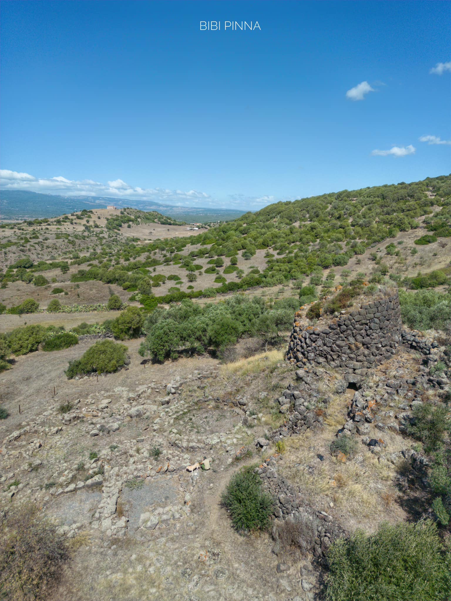
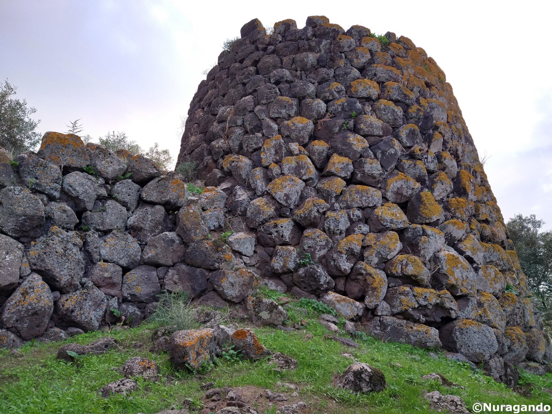
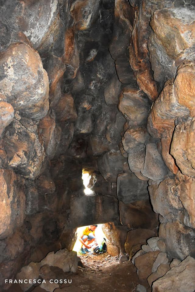
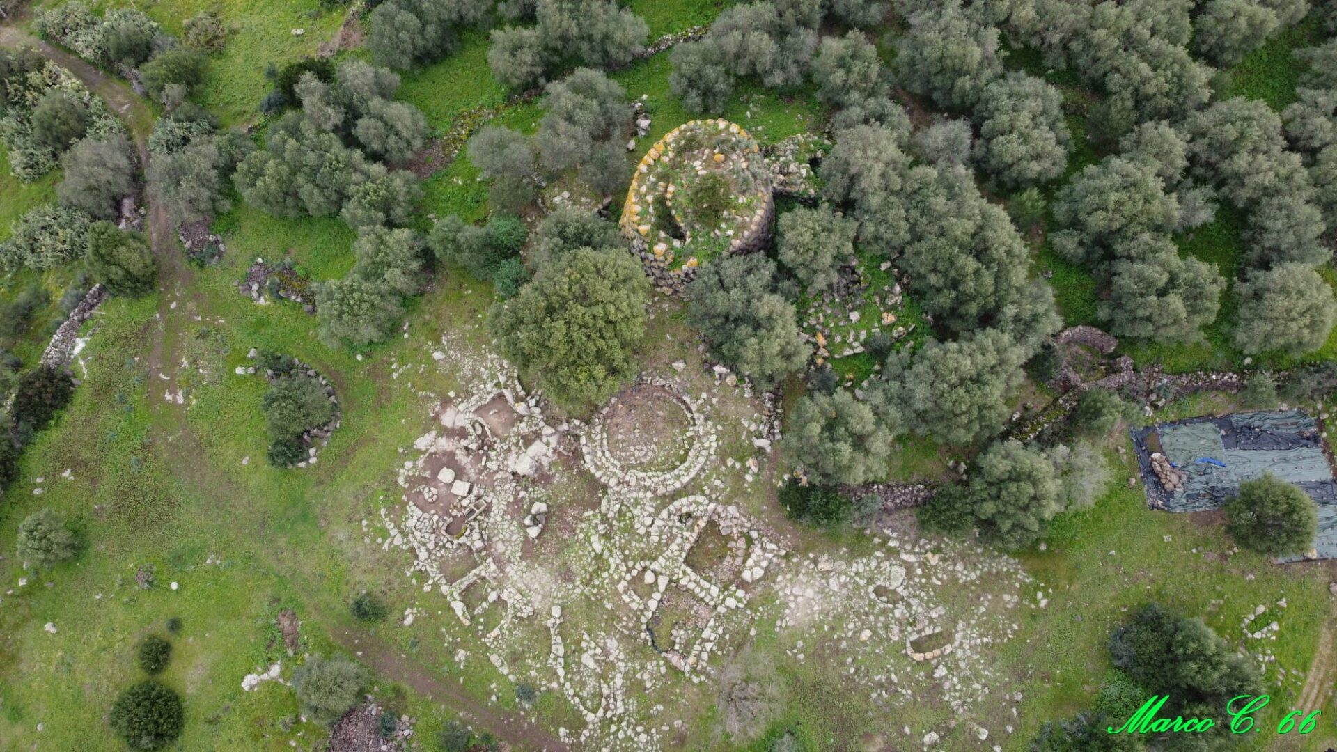
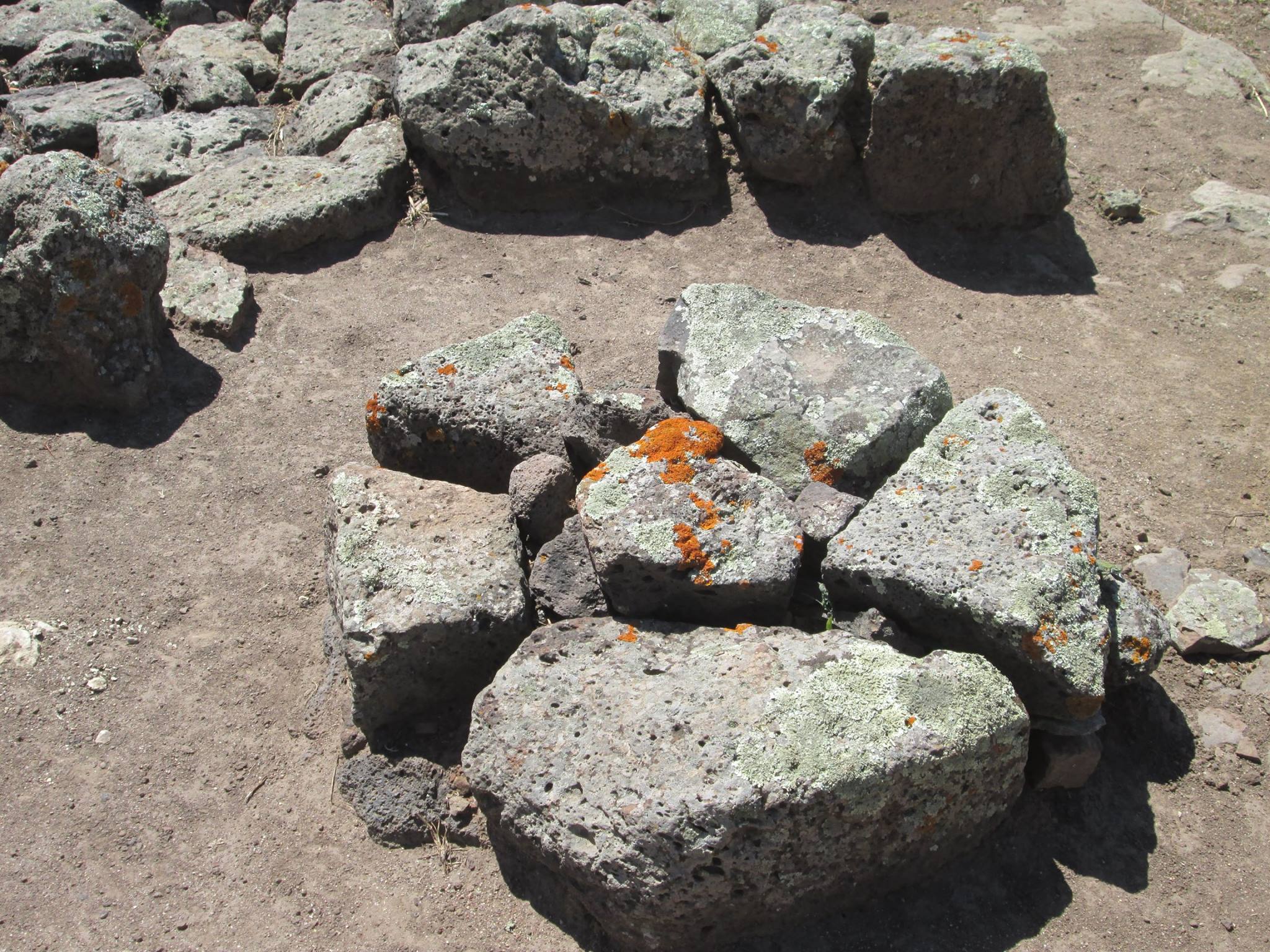
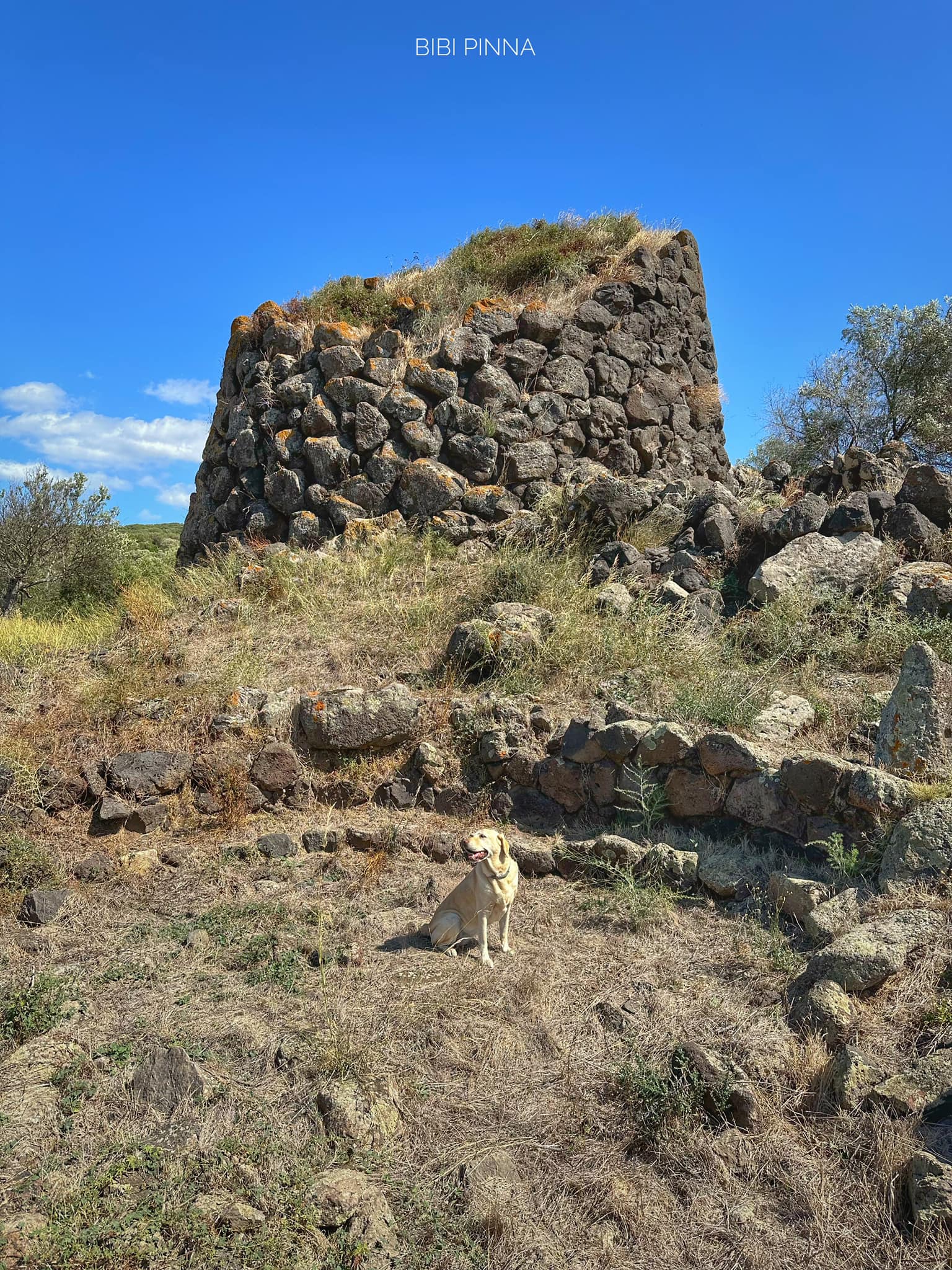
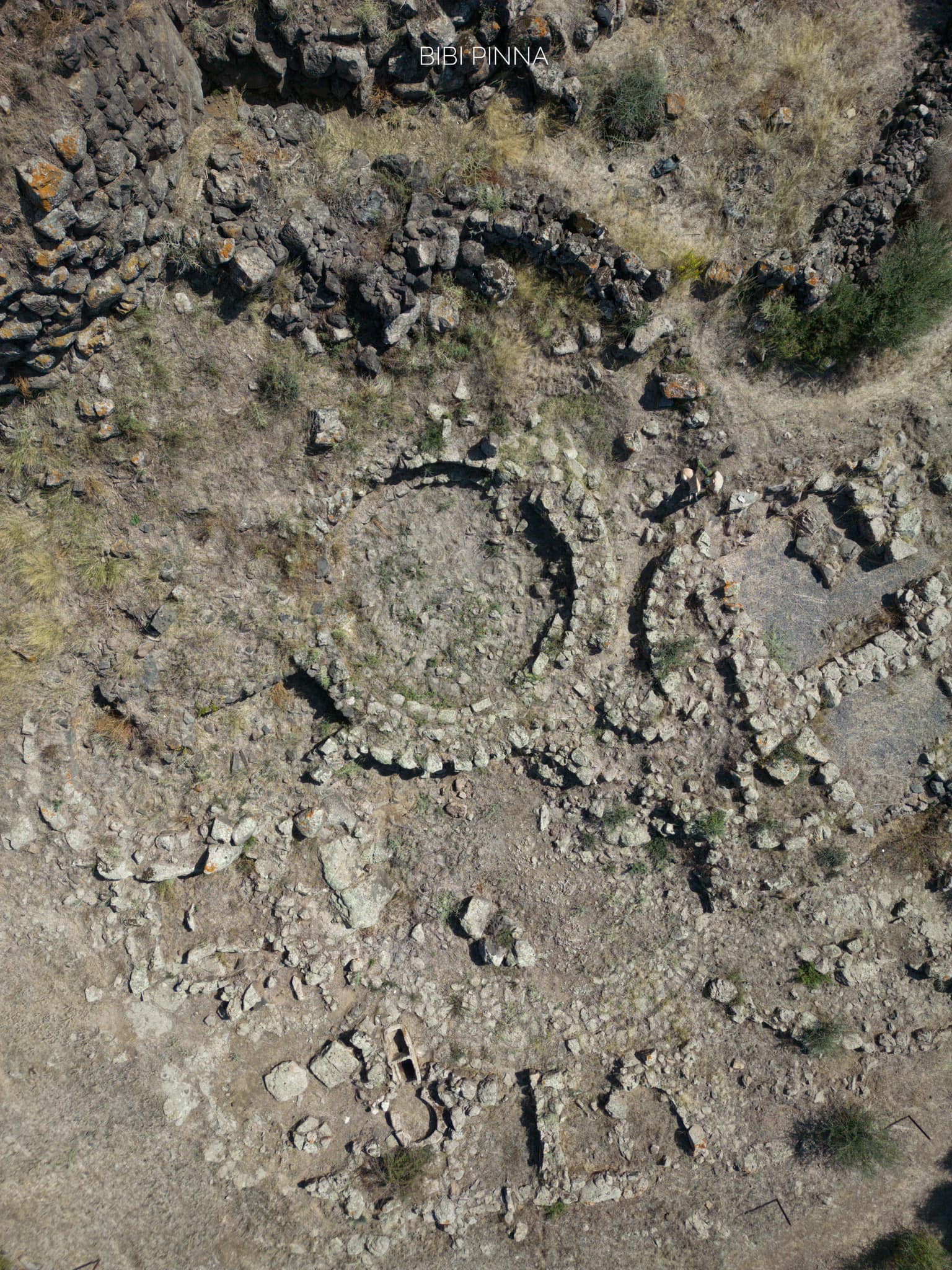
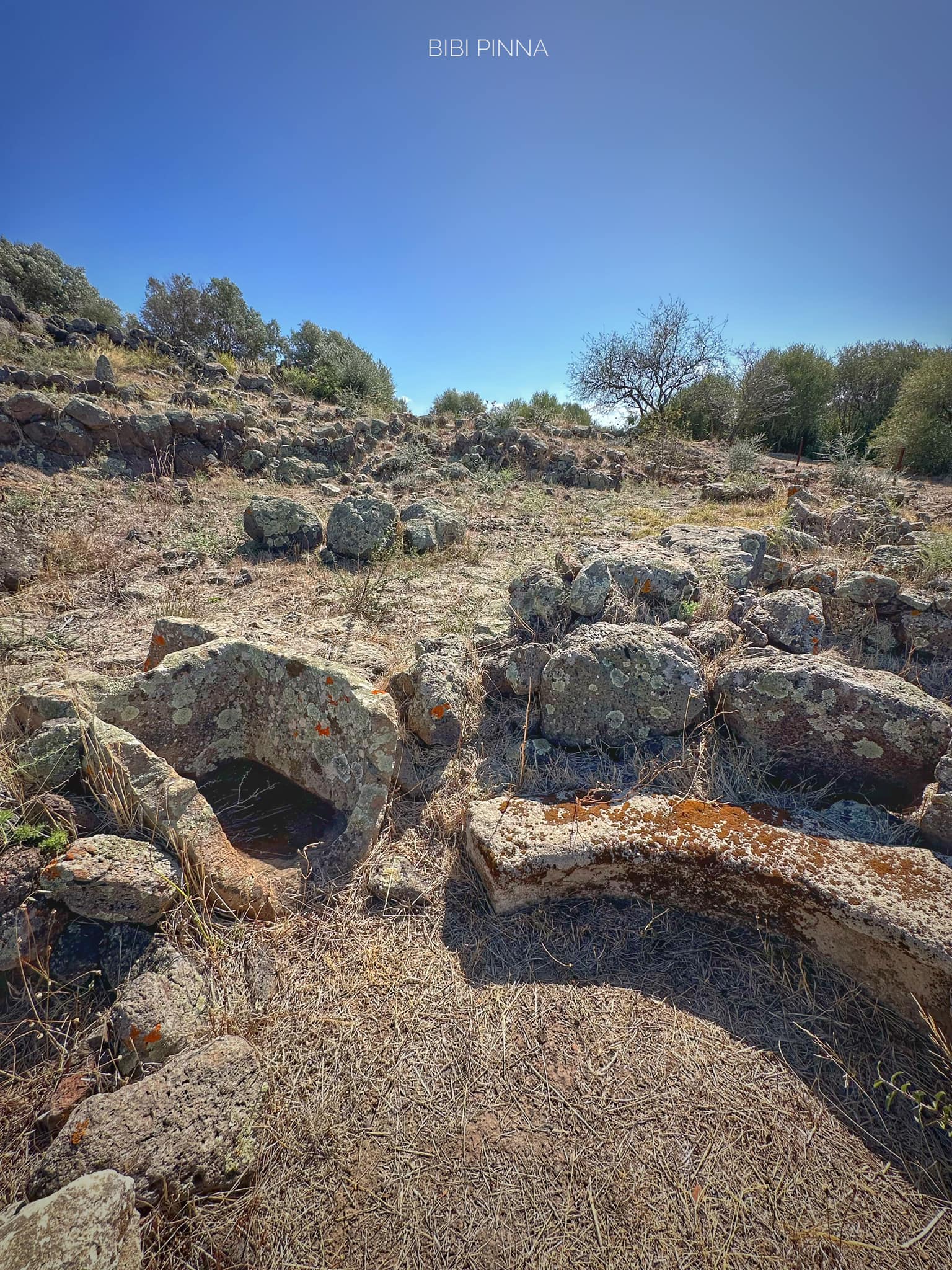
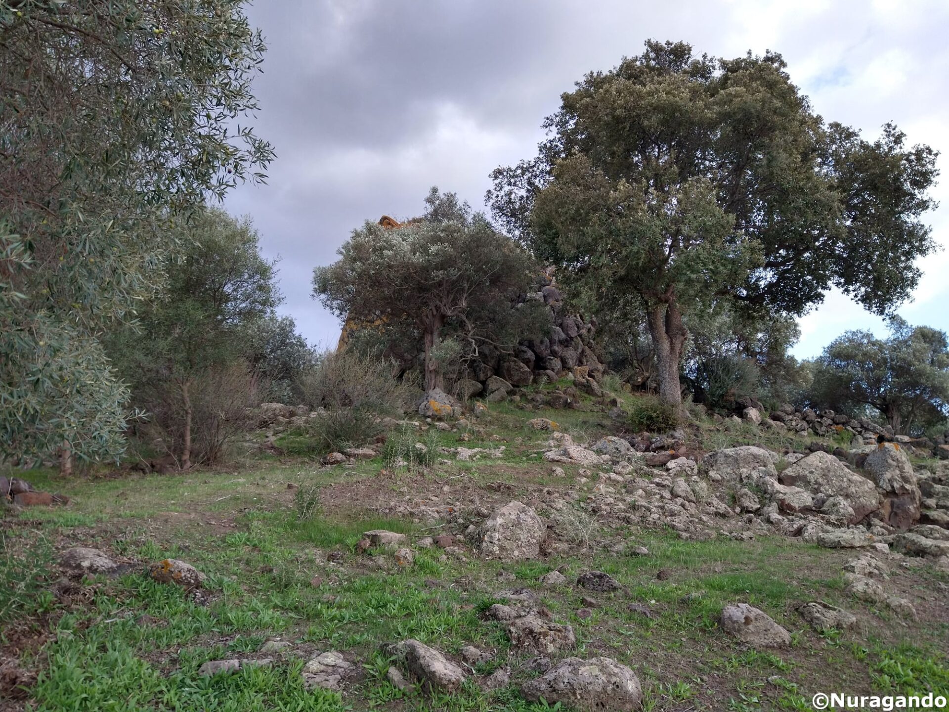
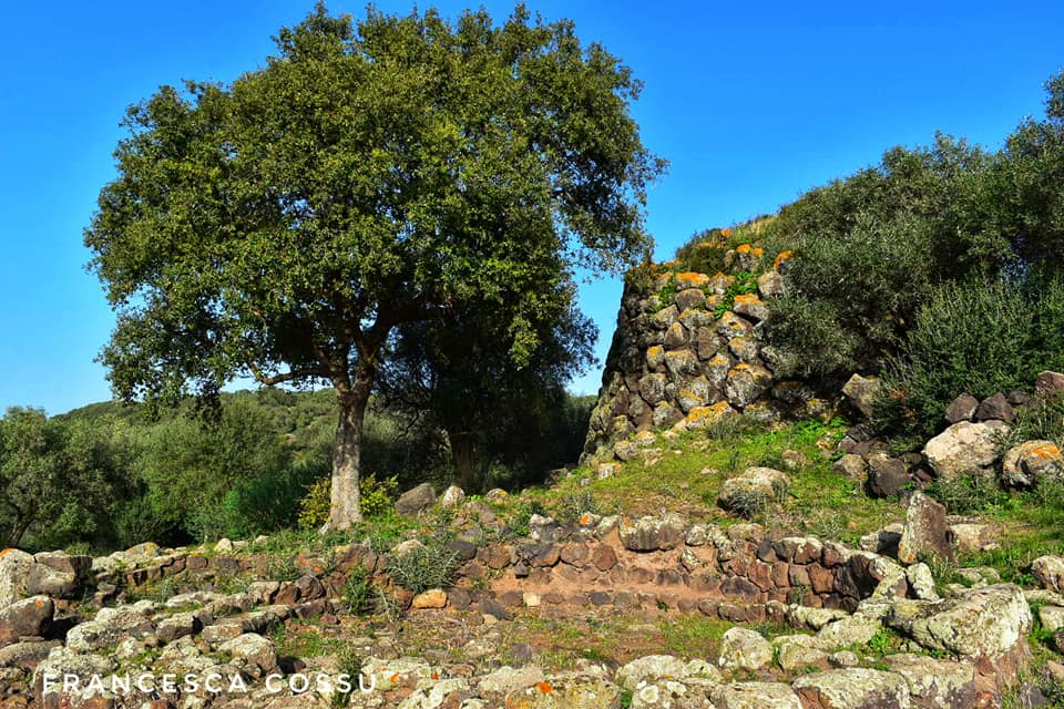
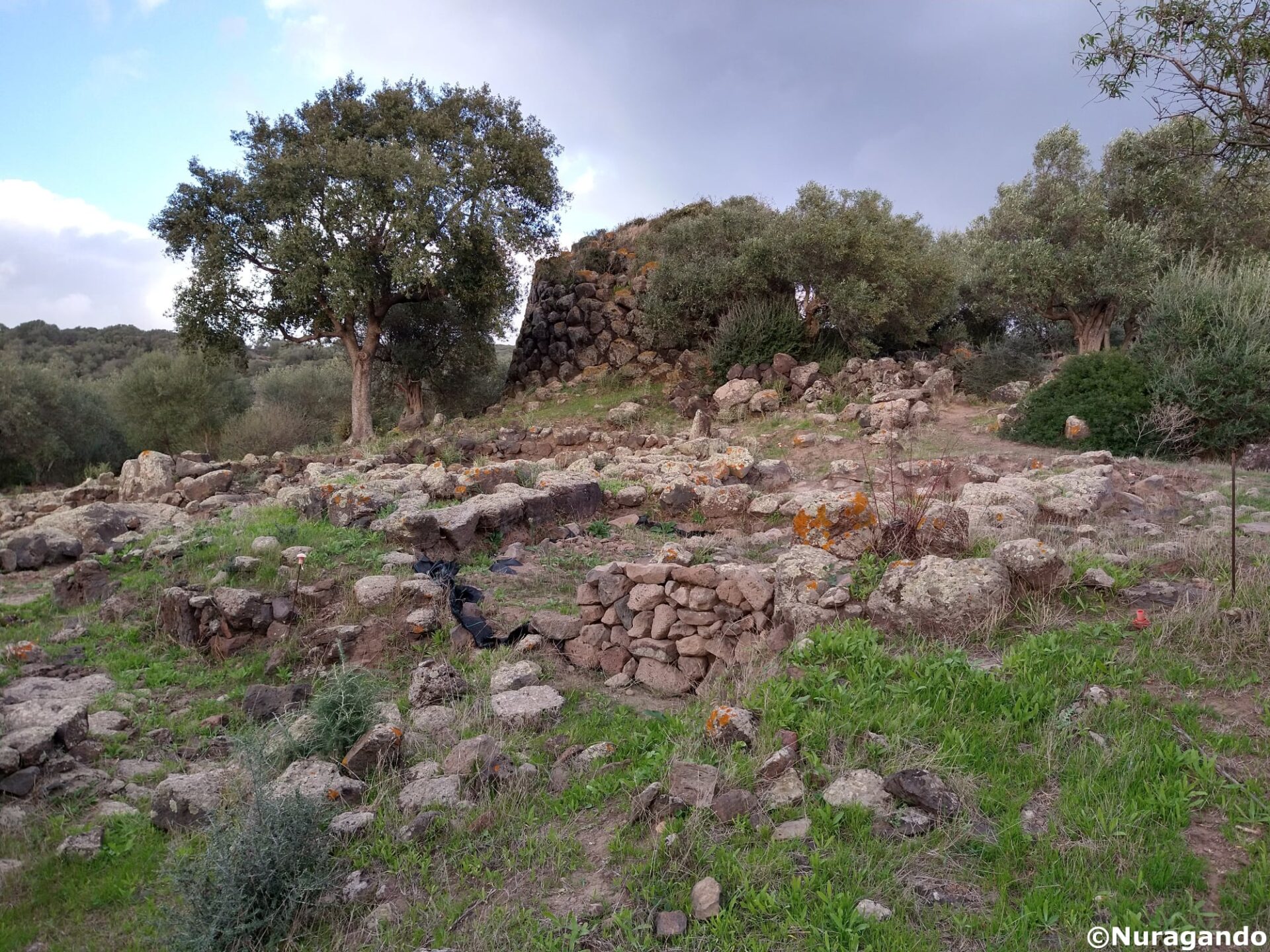
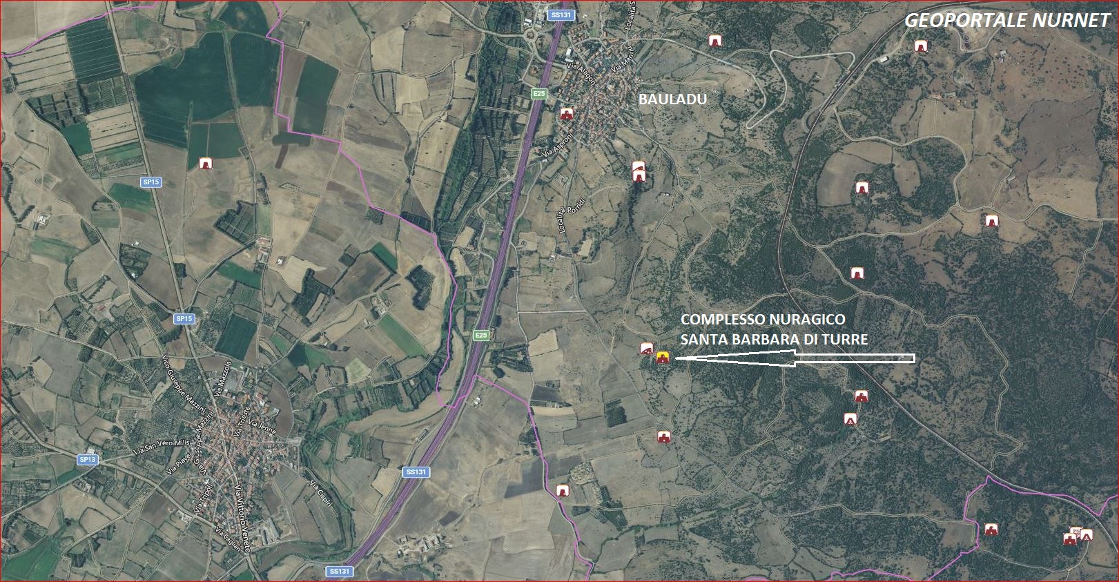
The nuraghe and the settlement of Santa Barbara are located on a modest relief at a distance of about 1.35 km from the built-up area of Bauladu in a SE direction, at an altitude of about 64 m above sea level. Antonio Taramelli reports the presence of a necropolis of domus de janas in the locality of Santa Barbara, a short distance from an almost completely destroyed nuraghe. The name Santa Barbara de Turre relates to the medieval period, specifically to the beginning of the 13th century, and refers to the domo (rustic complex) of the same name mentioned in several cards of the Condaghe di Santa Maria di Bonarcado. The archaeological complex of Santa Barbara comprises a nuraghe of a complex type with a main one-storey tower made of local basalt ashlars that is flanked, on the eastern side, by two other secondary towers joined by a curtain wall delimiting a courtyard, a village with phases ranging from the Nuragic Age to the Middle Ages covering approximately 1.5 hectares, a late antique/early medieval necropolis, a turreted wall (two towers can be observed on the northern sector) approximately 440 m long encircling the settlement area. More ancient evidence can be found, on the other hand, in the area further down the valley in the NW direction with respect to the nuraghe, with the aforementioned domus de janas referred to by Taramelli in the 1930s (the scholar actually speaks of the presence of several domus, although today they are no longer documented apart from the only one still surviving).
Source: University of Sassari Department of History, Humanities and Education: The settlement of Santa Barbara di Turre- Bauladu. Project report for archaeological research, years 2018 – 2020.
The photos of the nuragic settlement of Santa Barbara di Turre are by: Bibi Pinna, Andrea Mura-Nuragando Sardegna, Marco Cocco, Francesca Cossu and Alessandro Pilia.