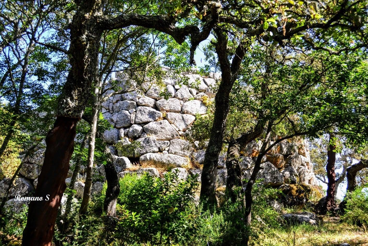
“The monument is located on a granitic dome emerging on a sloping plateau, in the area of Conca Marina in the Municipality of Tempio Pausania. It can be reached by walking along a dirt road that branches off at km 1.8 along the Tempio-Palau state road. The path, flanked by a dense forest of cork oaks and holm oaks, reveals the nuraghe at the highest point of the surroundings, carved by the undulating lines of the hilly relief. The strategic position of the building and the visual control of the territory and its resources is evident when reaching the highest part of the nuraghe, which now remains about 5 meters high. The horizon appears limited to the Northwest by the ridges of the Aggius mountains and to the Southeast by the Limbara massif. The heights surrounding the site host nuraghi and lookout and fortification structures, confirming the density and complexity of the settlement in the mountainous region of Gallura during the Bronze Age…”…”The excavation investigations, carried out in 1986 and in 1997-98, have allowed the reconstruction of the phases of life of the nuraghe, around which a vast village extended, the traces of which are discernible in the tangled forest cover of the surrounding area. The foundation of the structure dates back to the 14th century BC while with the advent of the early Iron Age (9th century BC) its life seems to have been completed…” (Angela Antona: “The treasures of archaeology”) The photos of the nuraghe Majori in Tempio Pausania are
 by Romano Stangherlin.