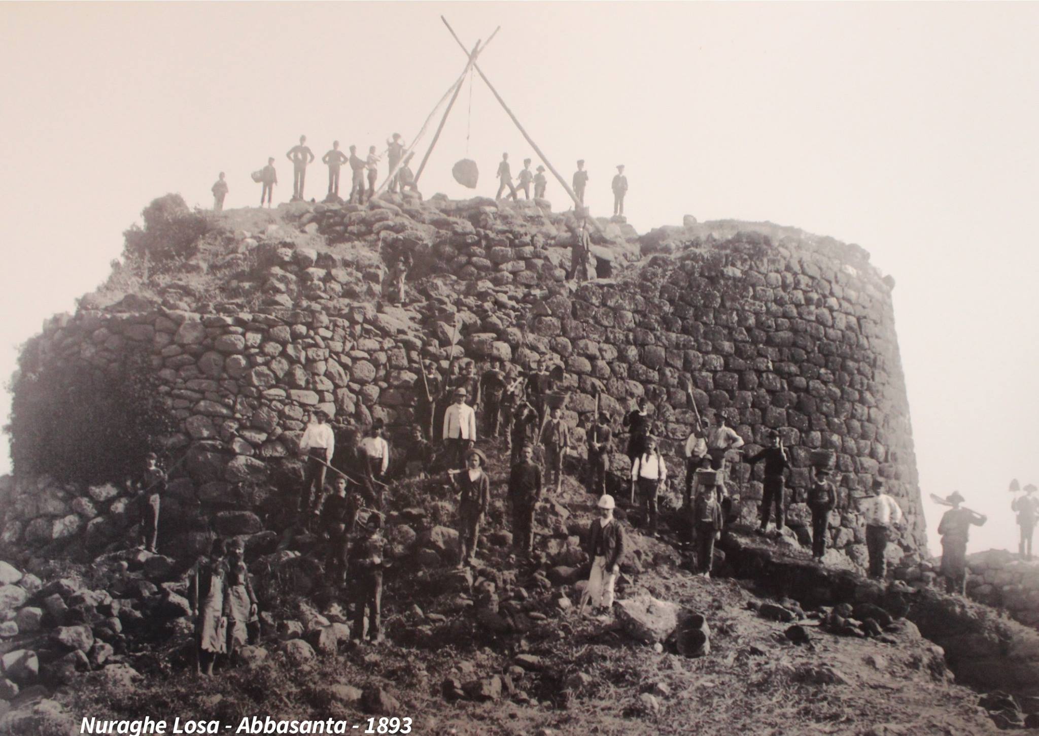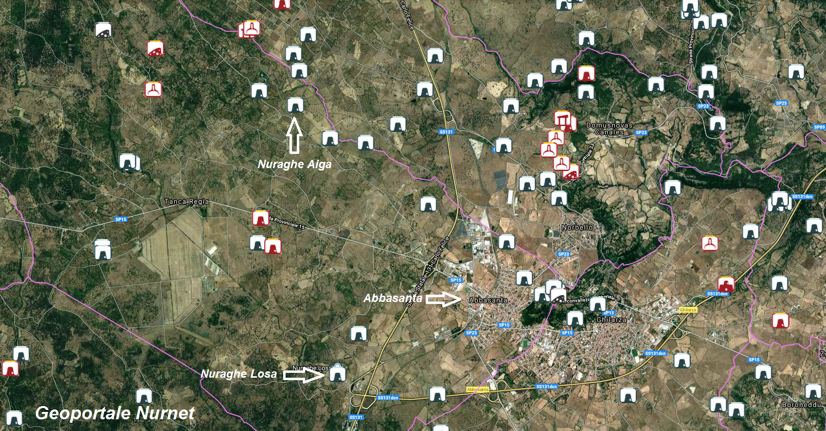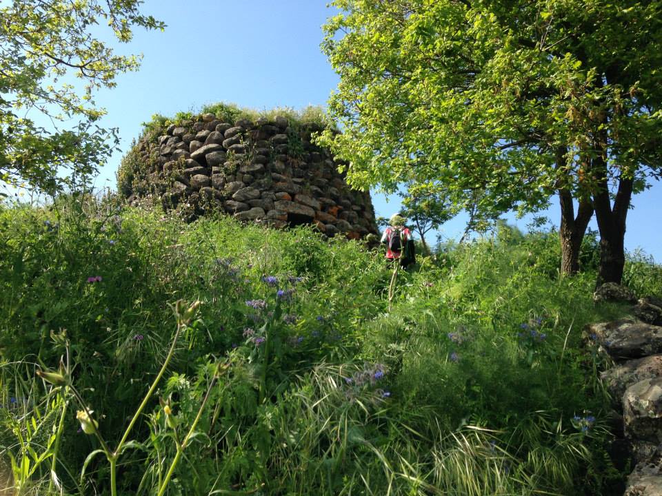
The nuraghe Losa of Abbasanta has been the subject of various excavation campaigns, starting with the one carried out by Vivanet and Nissardi in 1890. The site, of which the original nuragic agglomeration still remains to be investigated, was made accessible following the excavations of 1970 and 1975 conducted by Ferruccio Barreca, followed by those carried out from 1989 to 1994 by Vincenzo Santoni, Paolo Benito Serra, and Ginetto Bacco. Before the various interventions, access to the nuraghe was obviously quite precarious, as confirmed by Goffredo Canalis in his “Geographic-Historical-Statistical-Commercial Dictionary of the States of His Majesty the King of Sardinia,” published in Turin between 1833 and 1856. In it, regarding Abbasanta, it reads: “In this territory, there are 17 very ancient cyclopean constructions with a truncated cone shape, commonly called ‘norachi’ (nuràghes). Most are almost completely demolished; the most significant are norache Losa and norache Riga. Of those that still partially exist, the entrance is so low that one can only enter by crawling.”
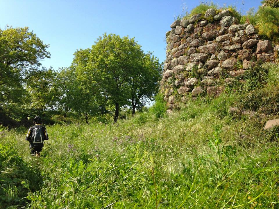
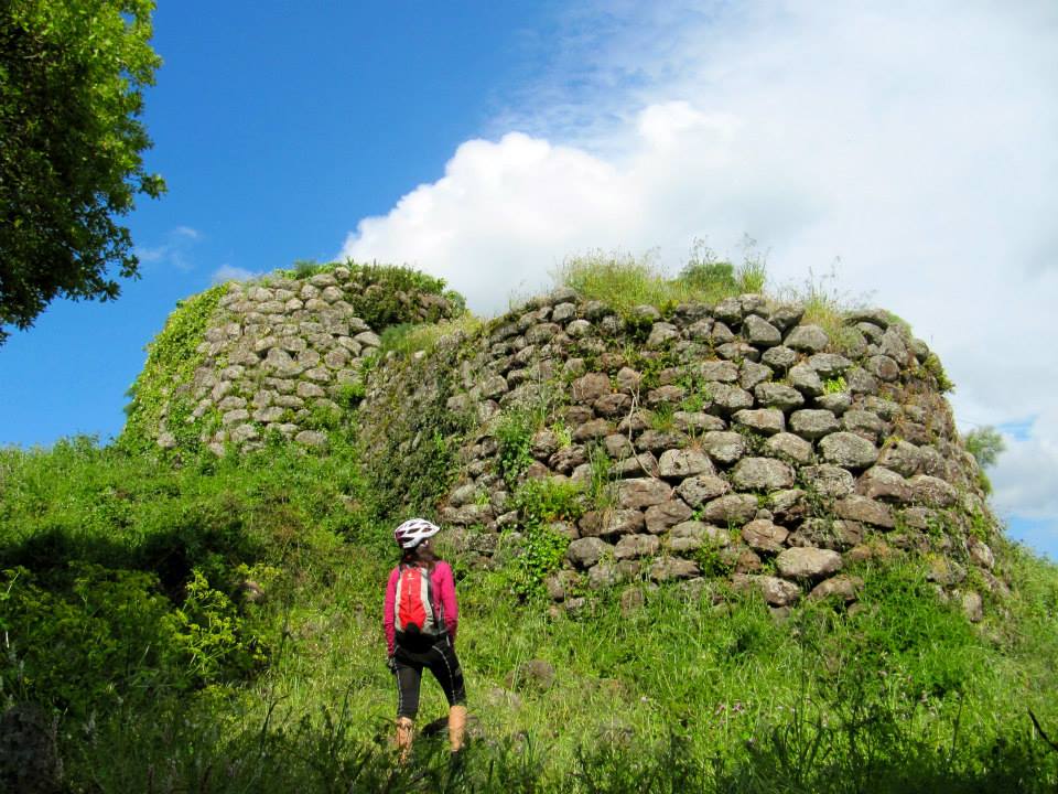
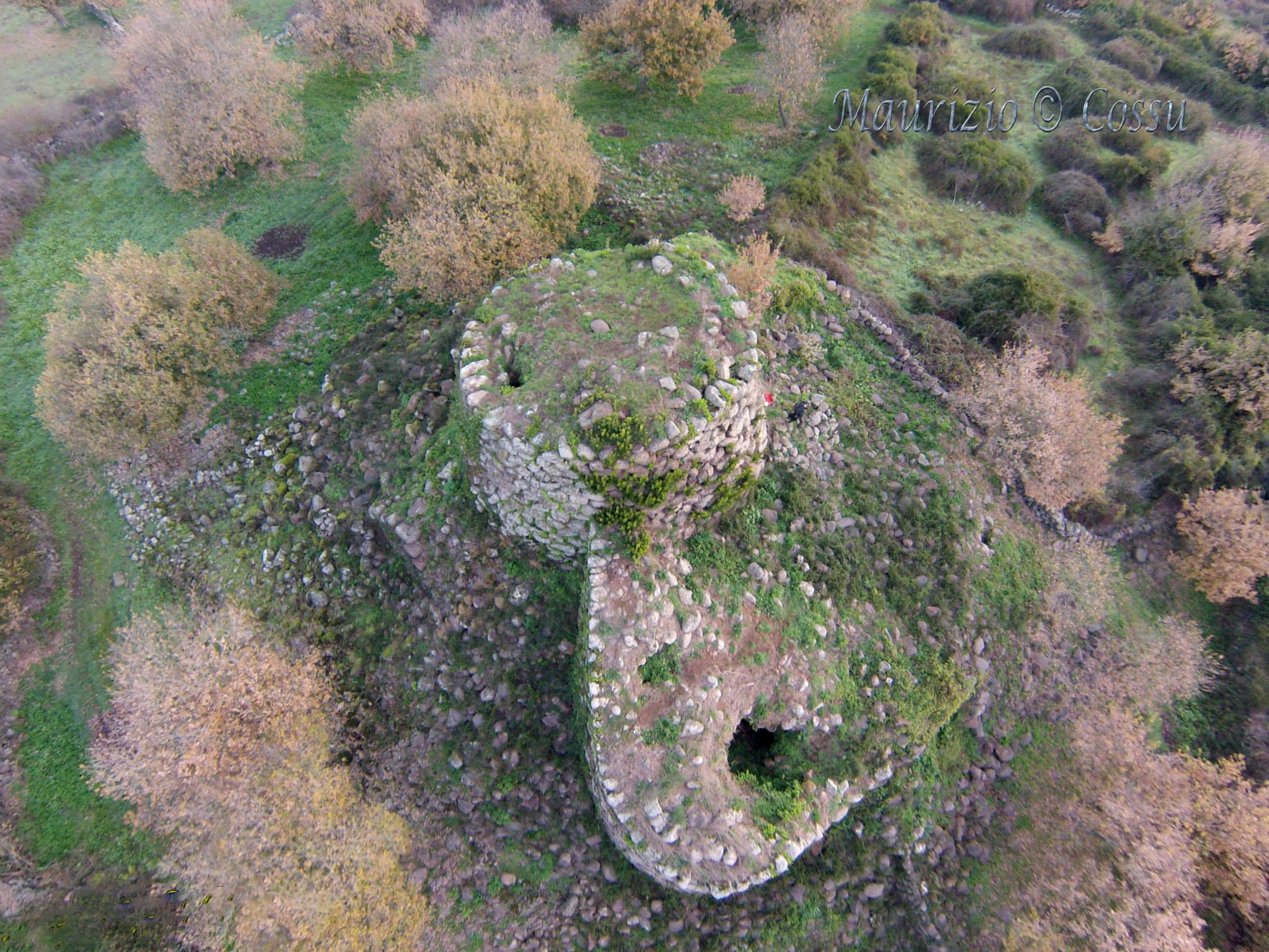
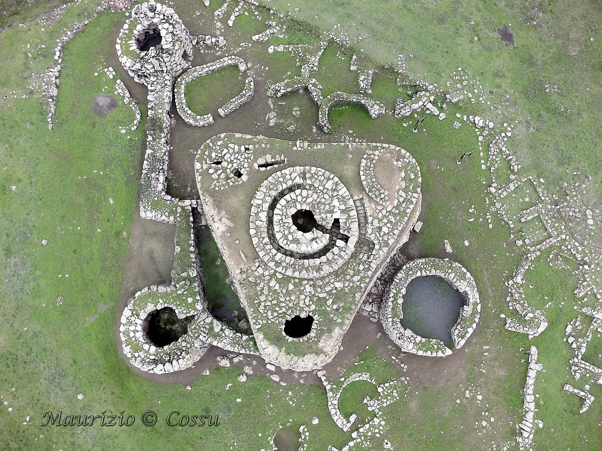
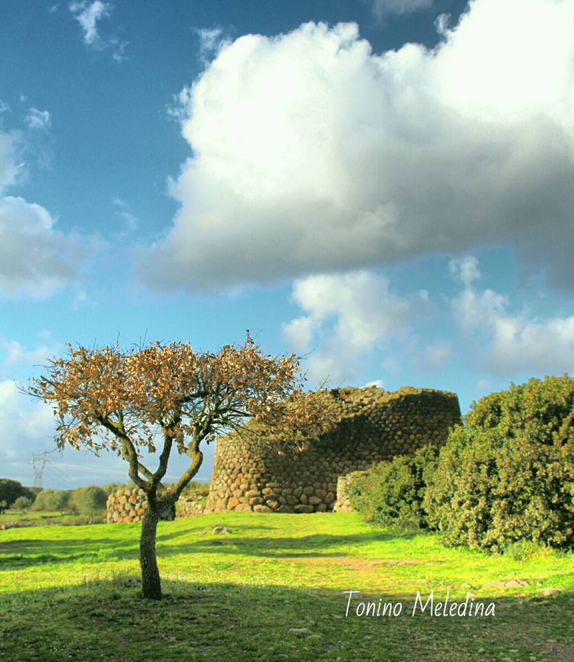
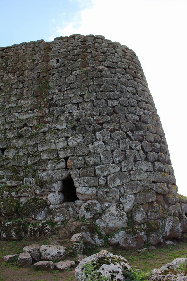
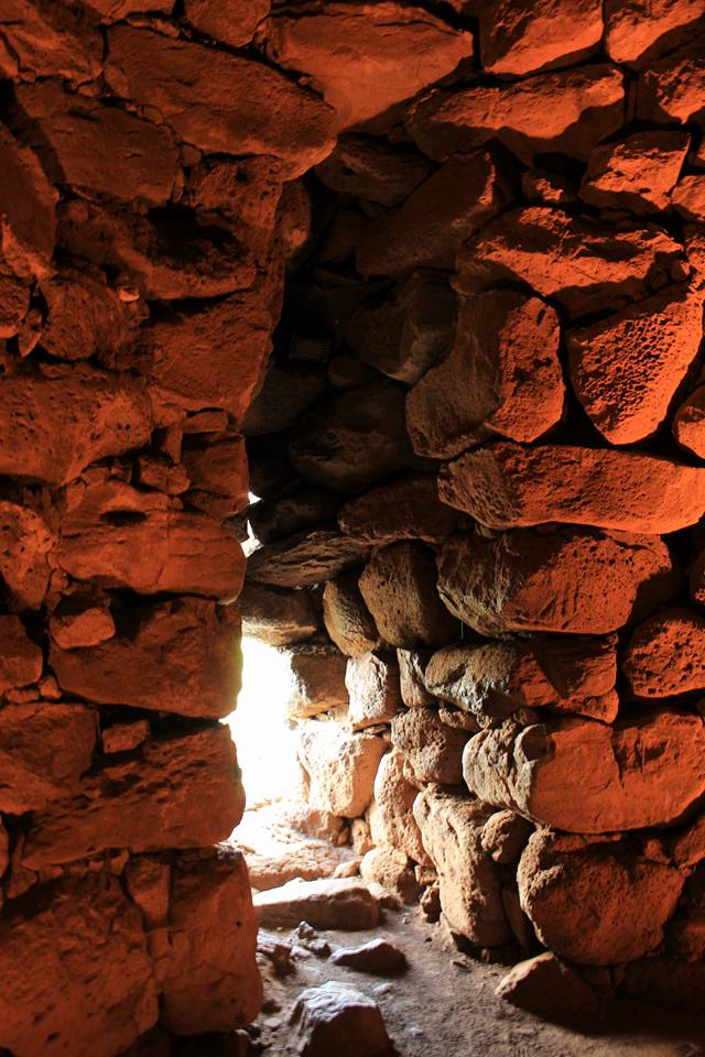
Attached: the nuraghe Aiga (presumably the Riga mentioned by Casalis) in the photos by Cinzia Olias and the nuraghe Losa in the shots by Antonio Meledina. The aerial images of the two nuraghi of Abbasanta are by Maurizio Cossu. The black and white photo of Losa (excavations by Vivanet) dates back to 1893.