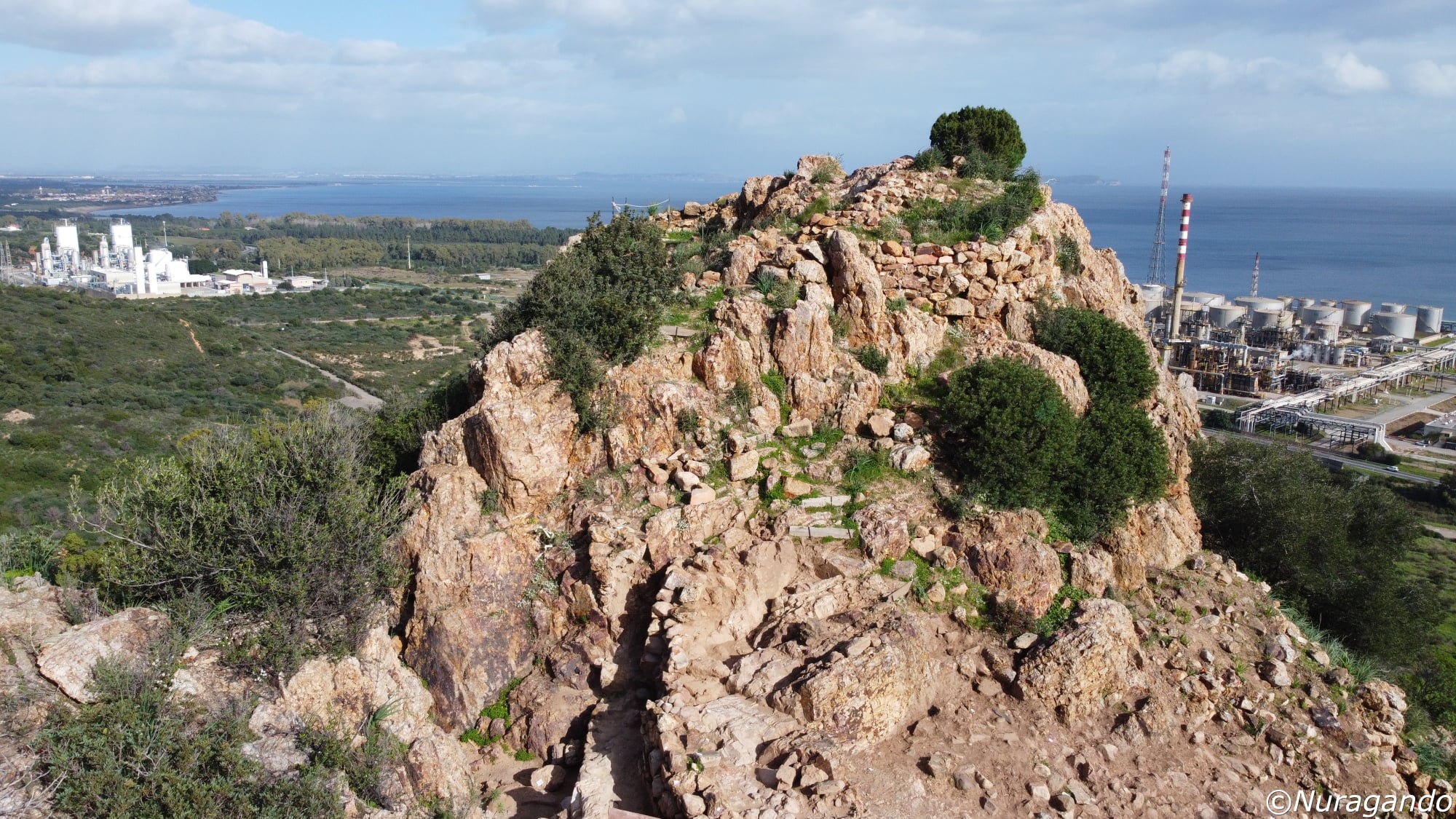
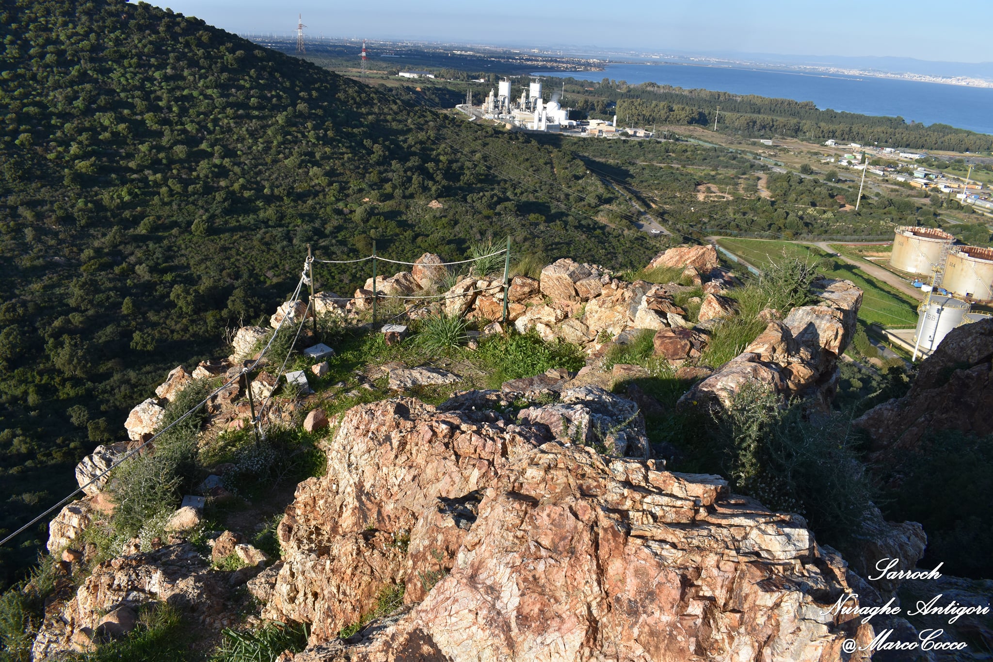
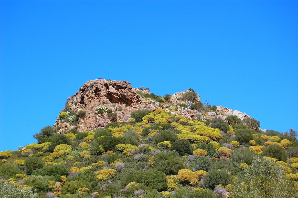
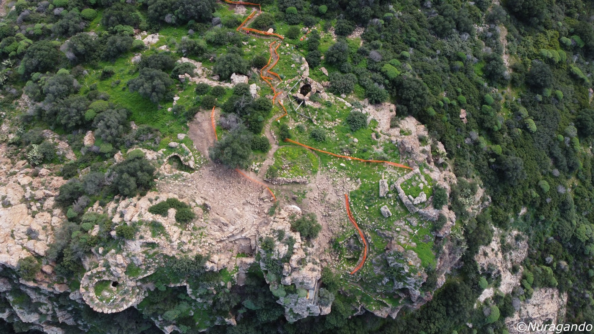
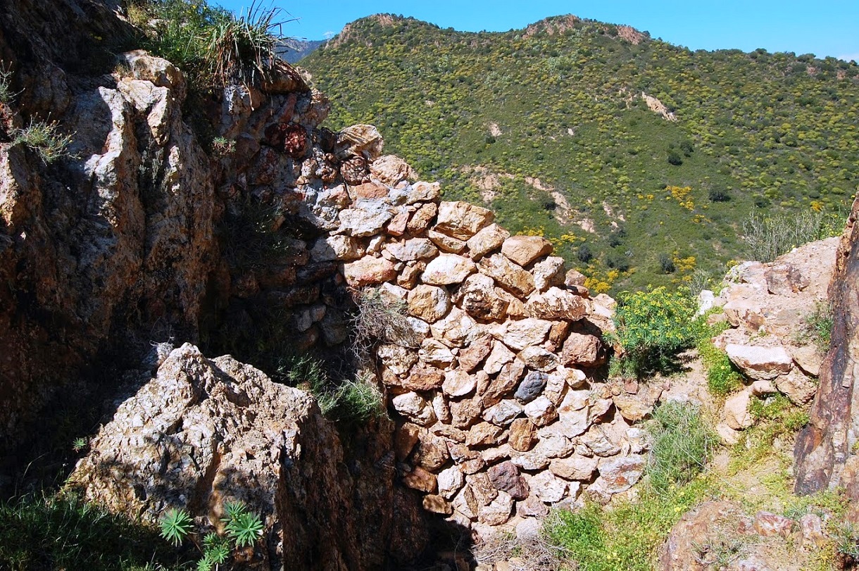
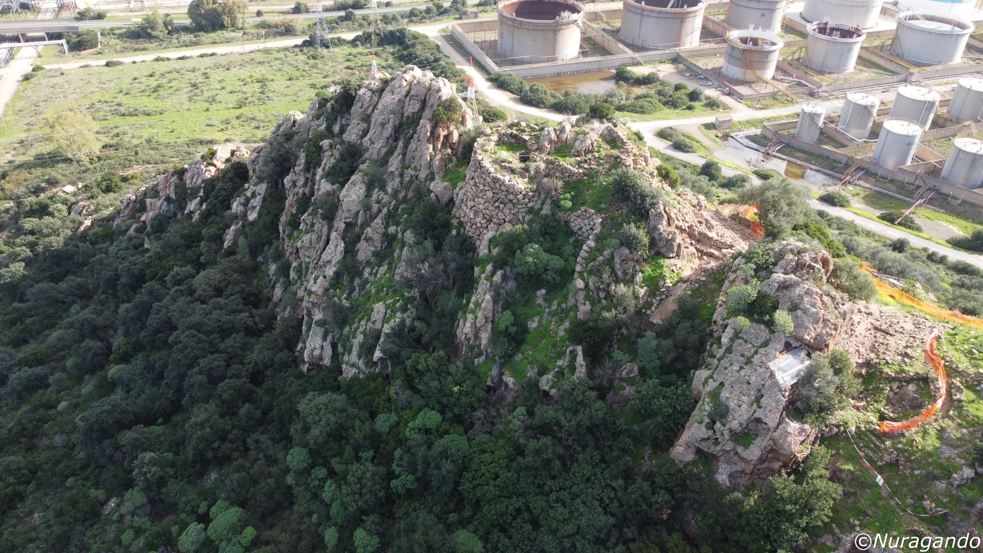
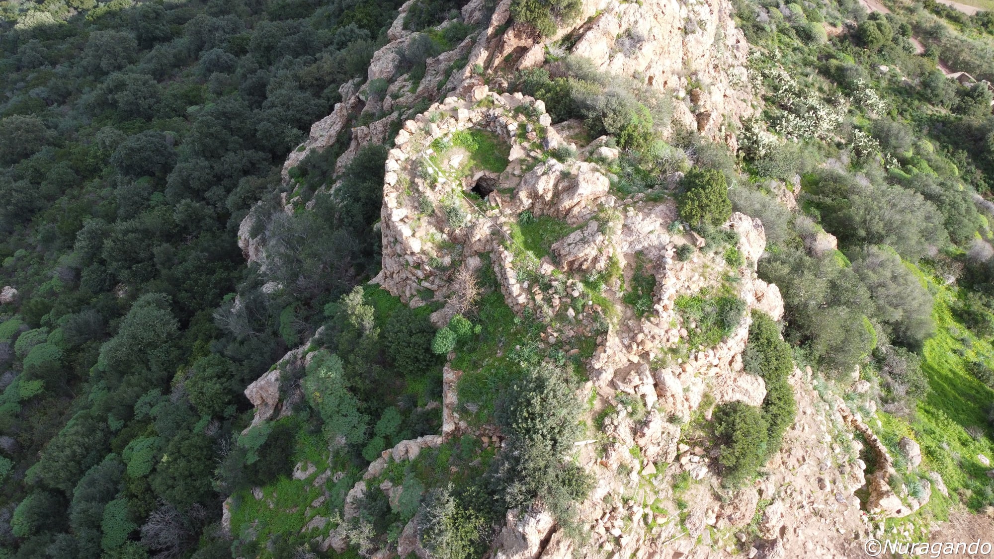
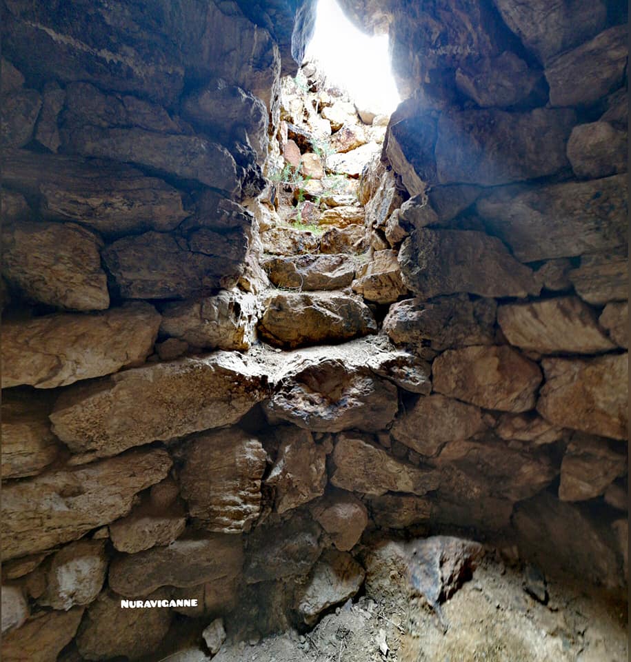
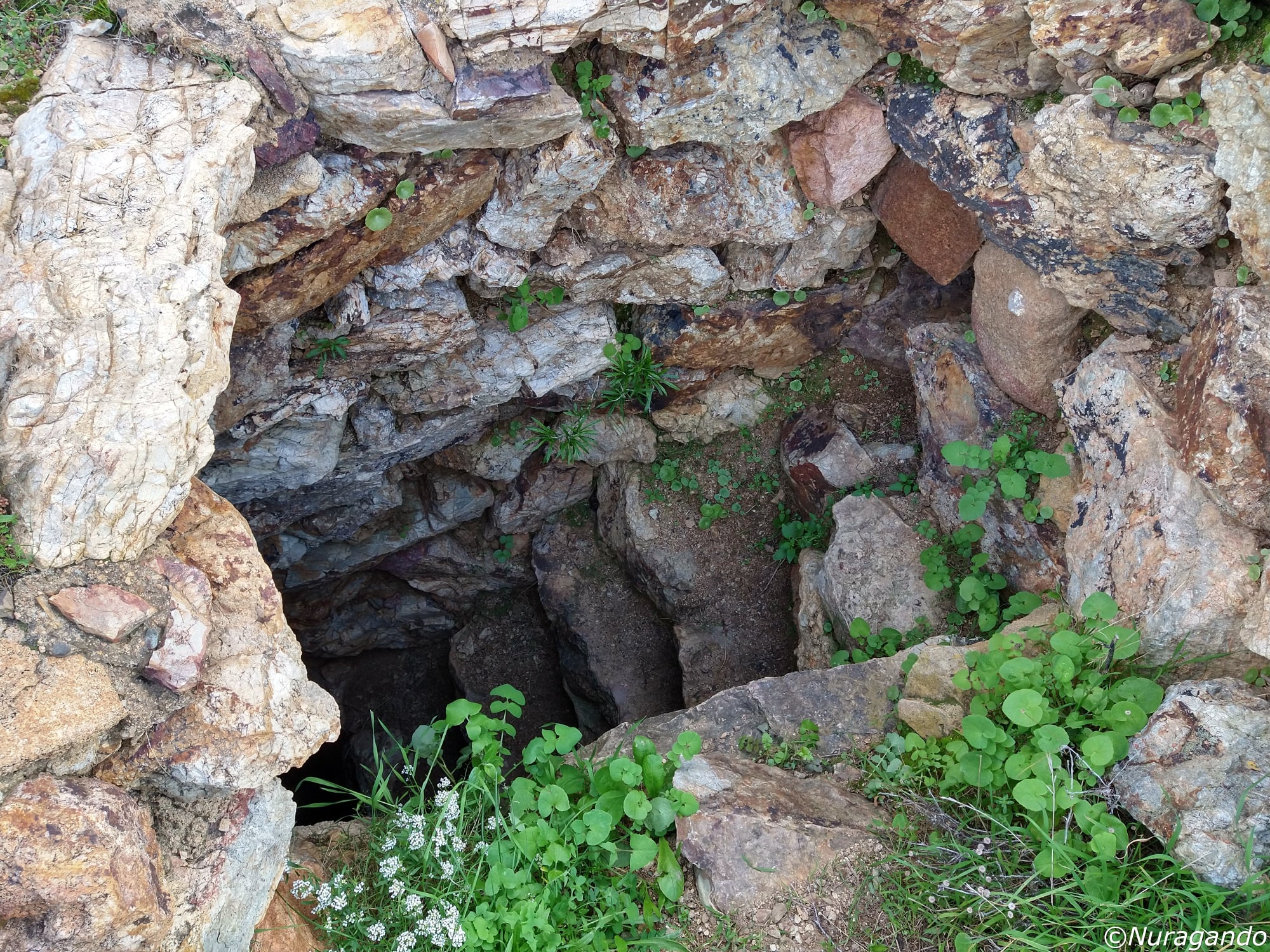
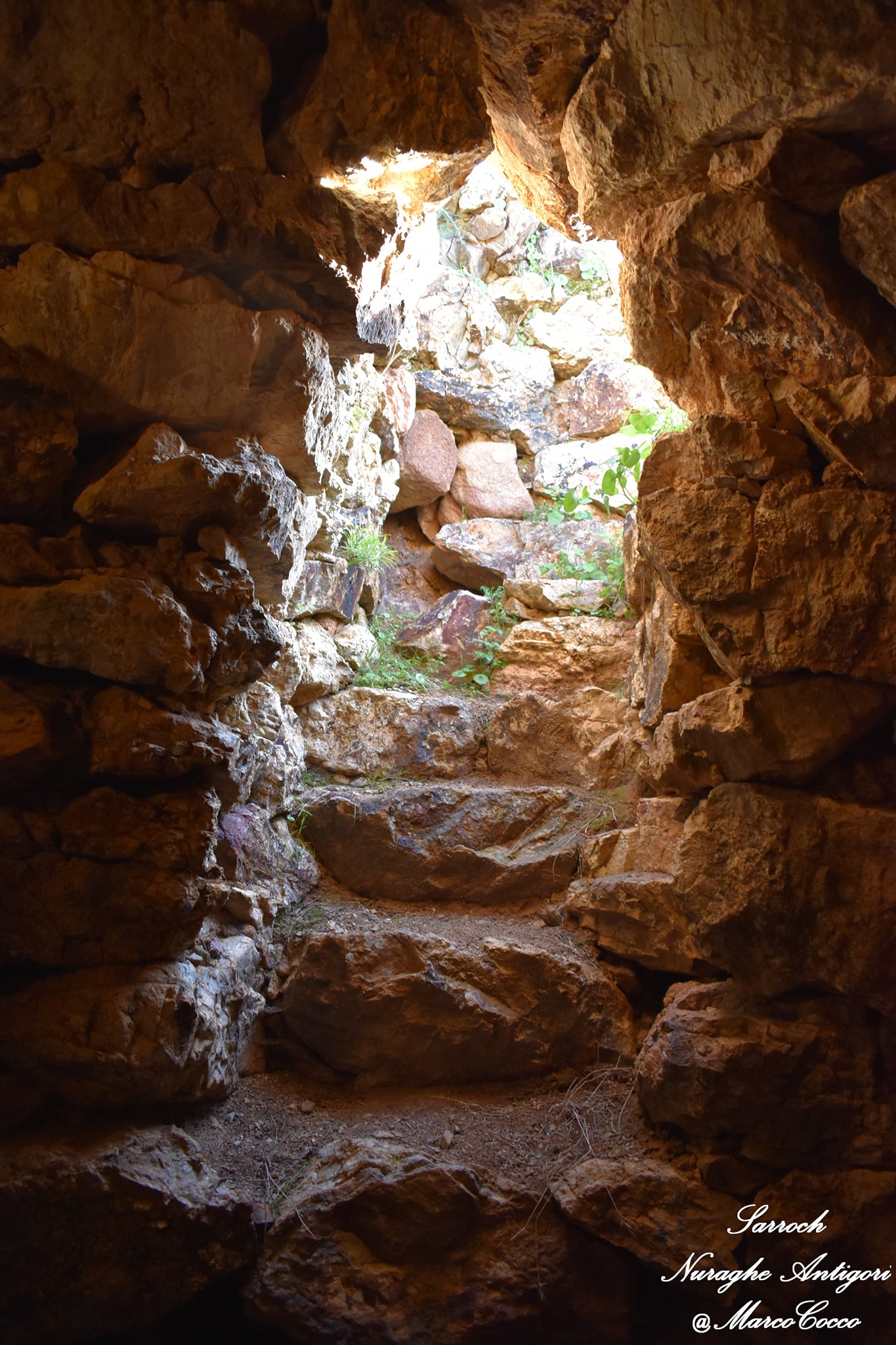
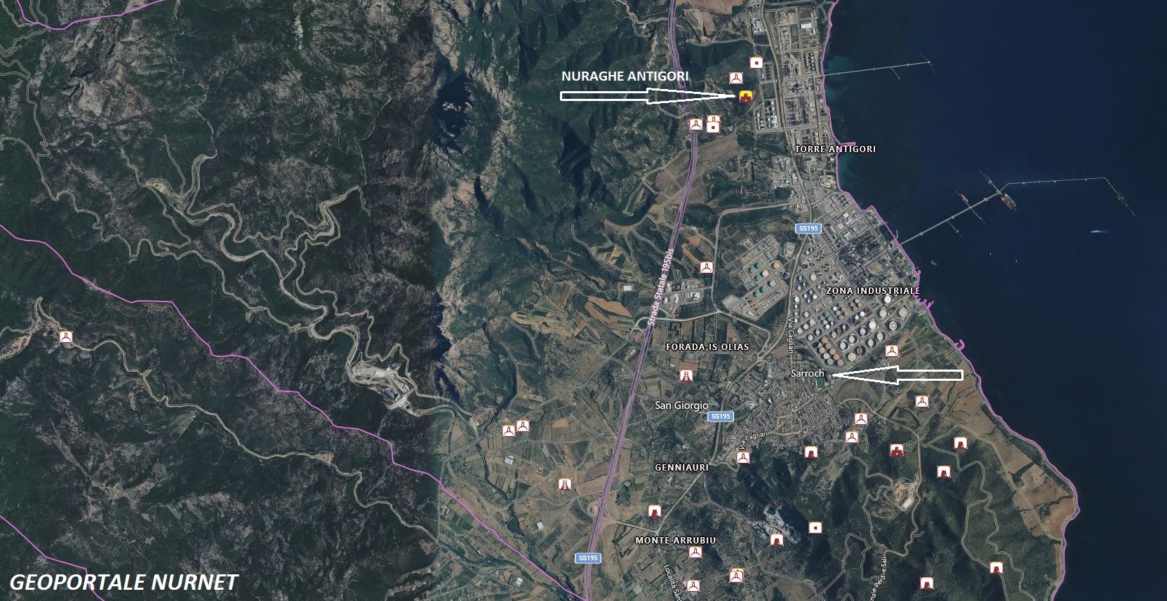
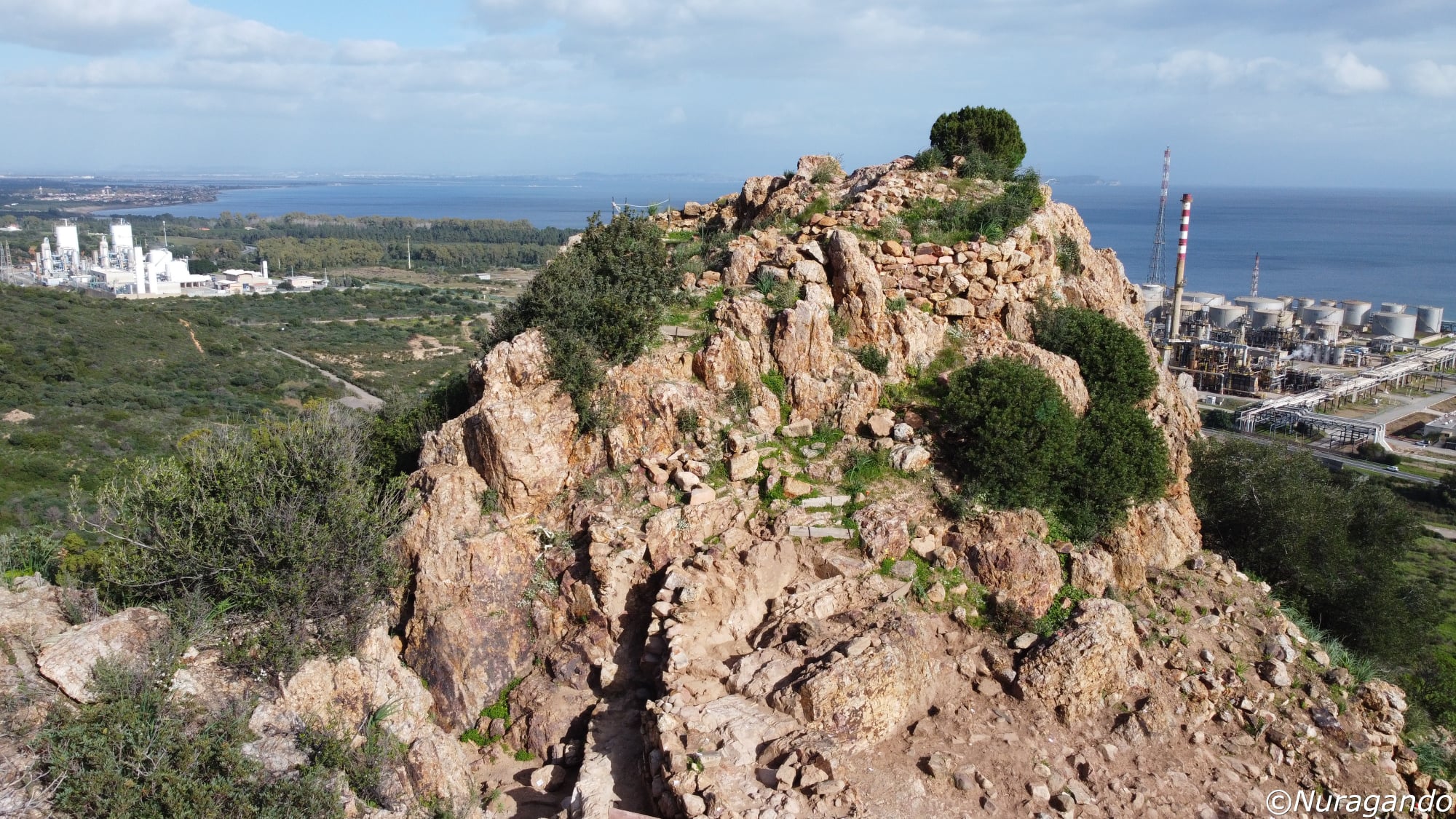
The fortified settlement, which occupies the summit of the rocky outcrop of Antigori, consists of a complex system of circular towers and connecting curtain walls (with a linear arrangement and positioned at various levels), built following the morphology of the hill and the differences in ground elevation. The northern slope of the hill is occupied by two towers, c and b, while the southern slope, more exposed due to the gentler gradient of the terrain, is safeguarded by towers f, g, h and the associated connecting walls, while the remaining slopes, eastern and western, are protected by sheer natural rock walls that, integrating with the structures, form a true defensive bastion. The perimeter walls are constructed with large blocks on the outside while on the inside they are made with smaller stones differently adapted to the base and the outcroppings of the rock bed. The appearance of the external walls of the towers varies based on the types of stone used, mainly schist, the type of workmanship and installation: polyhedral work in towers b, c, d, subquadrate work in towers f and h. The settlement space within the wall circuit, identified and excavated limited to the western sector, is characterized by the presence of huts attributable to the nuragic period and by some environments with a quadrangular plan, one of which is made with irregular work and rows of bricks, which attest to the site’s use also in Punic and Roman times confirmed by excavation data (room a). To the south, in the section of the curtain wall that connects to tower h, the entrance to the complex opens through which one accesses a curvilinear corridor currently blocked by fallen material. This corridor, through a set of ramps and stairs, allowed access to the structures located in the upper part of the settlement among which those currently better visible and legible are tower c and room a. Tower c, built with white schist blocks, has a circular plan; the tower, characterized by two overlapping floors with an access staircase, still retains the original tholos roof of the lower floor and the external elevation of which 13-14 rows of irregularly arranged blocks remain. Immediately above the first visible rows, a series of rectangular loopholes open interpreted as an architectural feature related to a defensive need or to allow the entry of air and light. The other environment (room a), placed against the northern curtain, has a quadrangular plan (3.20m x 2.20m) with an entrance facing east while the currently visible walls retain a height between 0.60m and 0.40m. The complex holds great scientific importance as the excavation data collected, related to the presence of Mycenaean ceramics in stratigraphic association with some nuragic ceramic productions, attest on one hand to the contacts between nuragic and Mycenaean cultures and on the other hand allow the dating of gray slate ceramic production back to the Late Bronze Age thus partially filling the lack of absolute chronological data for nuragic ceramics. About 250 meters in a straight line from the nuragic structures, on the western slope of the hill, there is also a giants’ tomb, presumably serving the village, of which the camera (length 11.5m) and the exedra (width 8.60m) are preserved with a row of elevation. (General Catalogue of Cultural Heritage)
The photos of the nuraghe Antigori in Sarroch are by: Andrea Mura – Nuragando Sardegna, Gianni Sirigu, Marco Cocco, Alberto Valdès and Naty Guì.