An impressive number of nuraghi and tombs of giants contoured the shores of the Golfo degli Angeli. Constructions that guarded important harbour ports but also presumably guarded access to the area of the present-day city of Cagliari and the lagoons of Santa Gilla and Molentargius. Progressive urban development and continuous building stratifications have almost completely obliterated traces of the Nuragic Age in our capital city. However, it is precisely the considerable density of coastal Nuragic evidence that makes it possible to reasonably hypothesise the strategic importance of the Cagliari area in Mediterranean trade at the time.
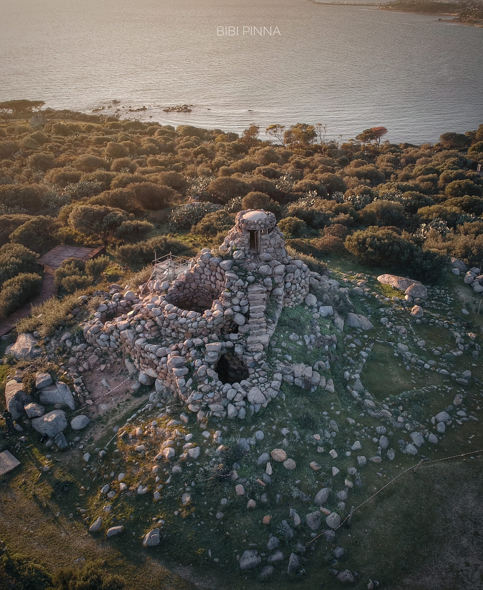
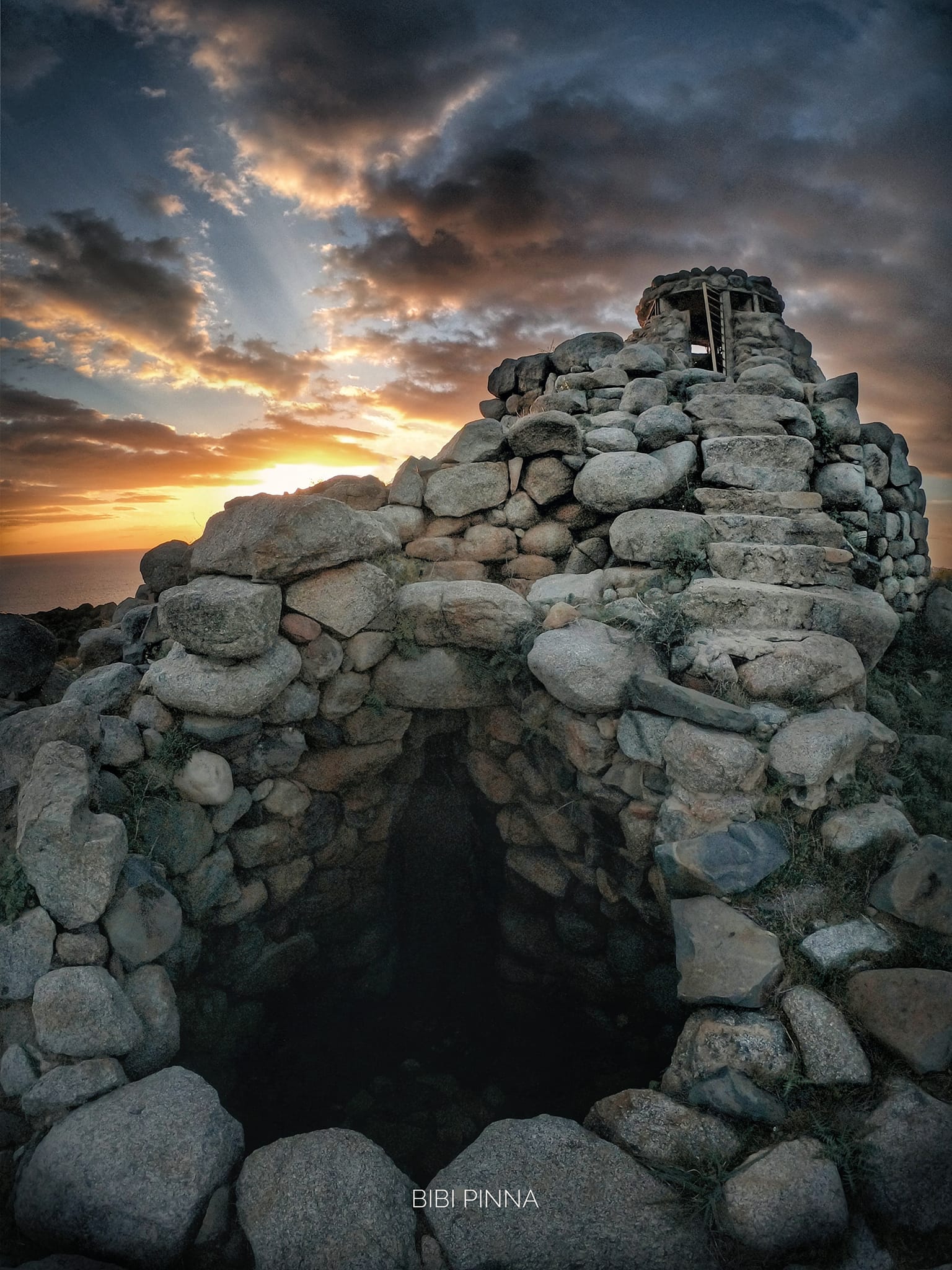
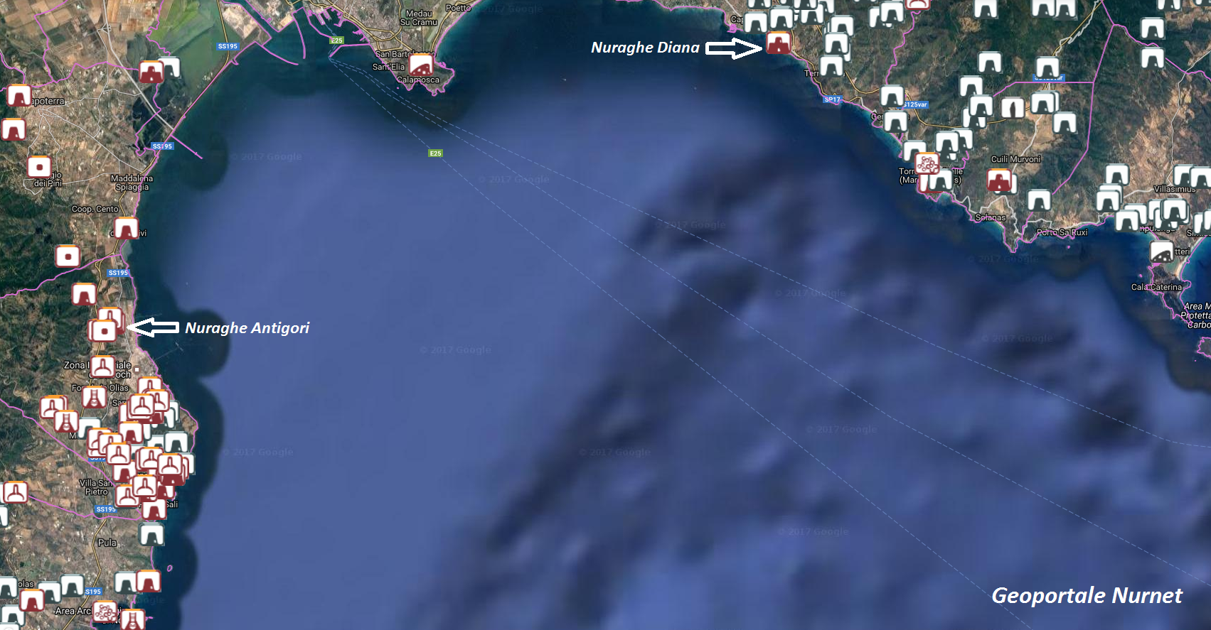
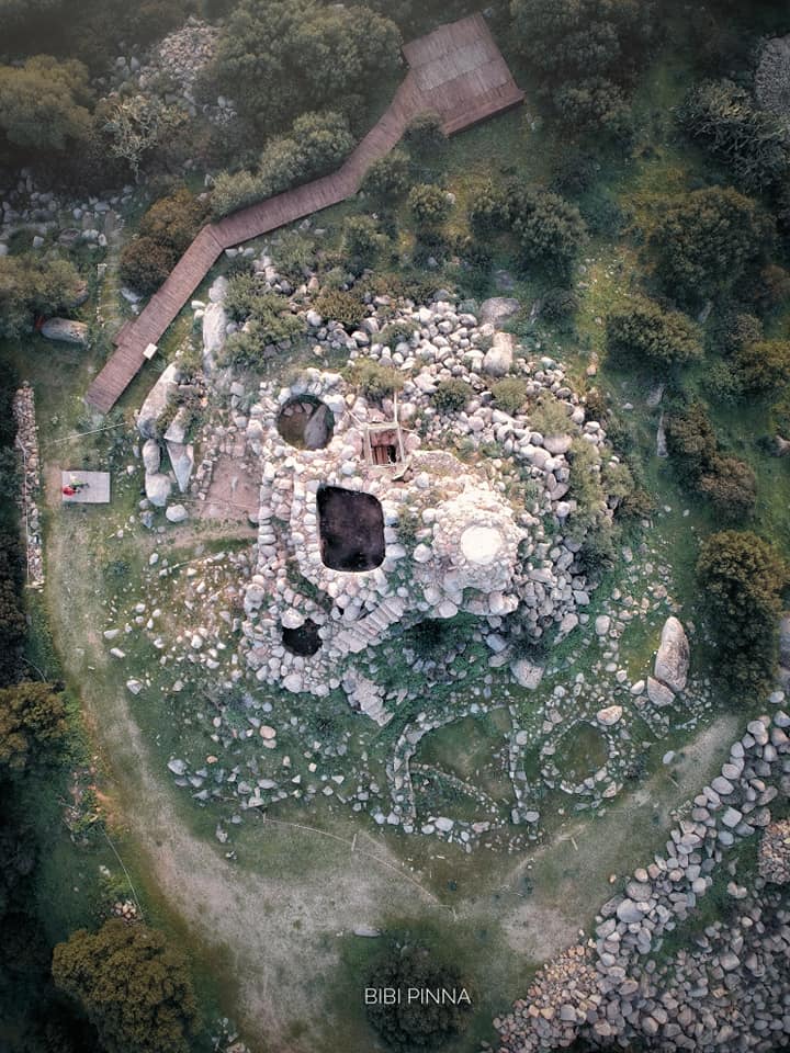
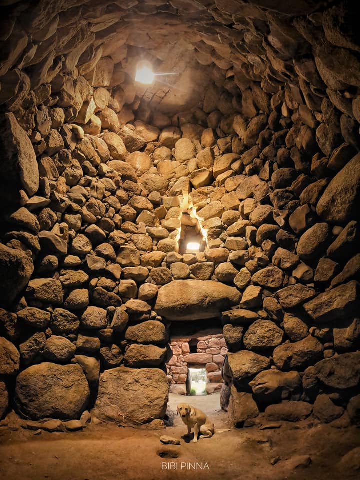
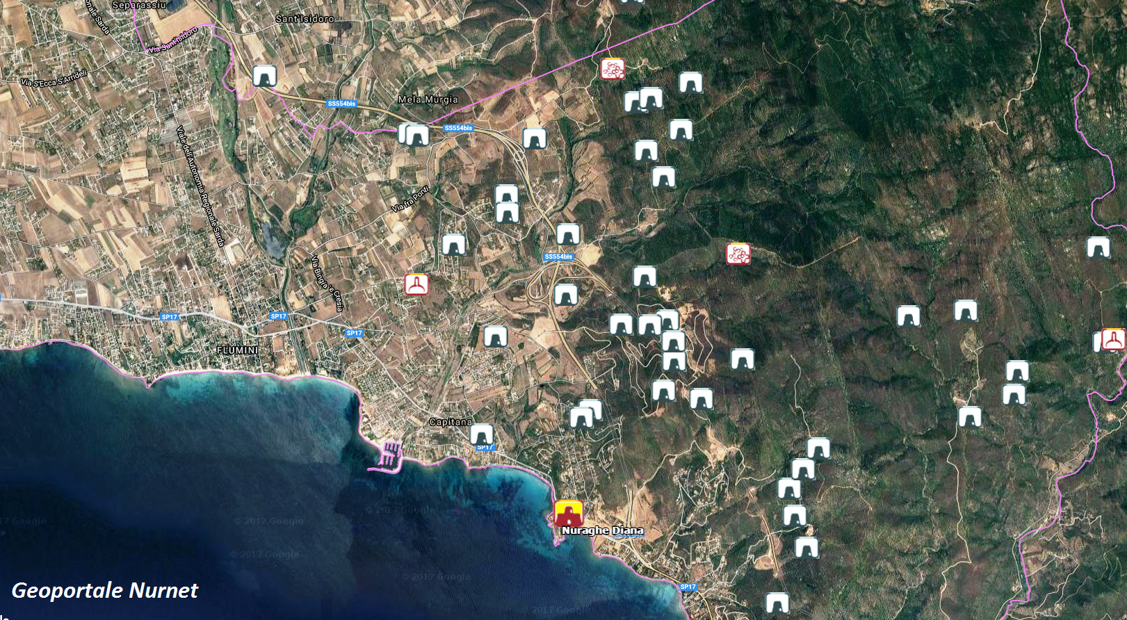
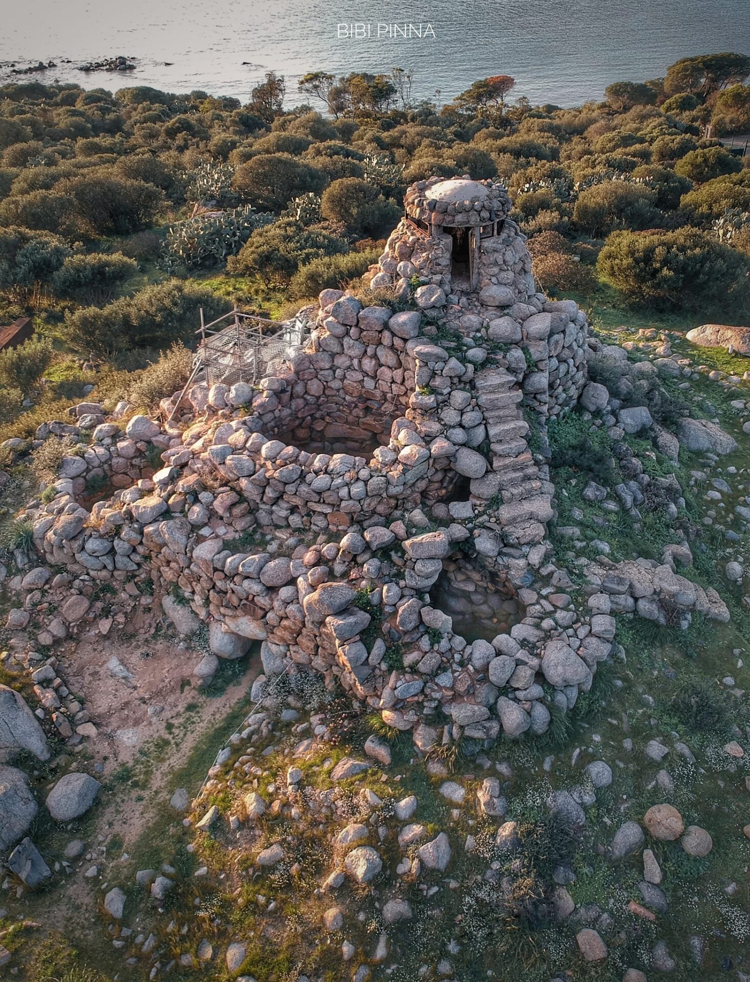
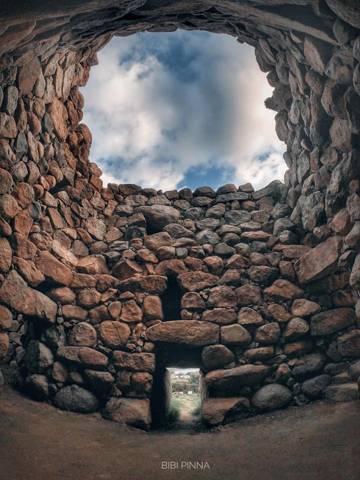
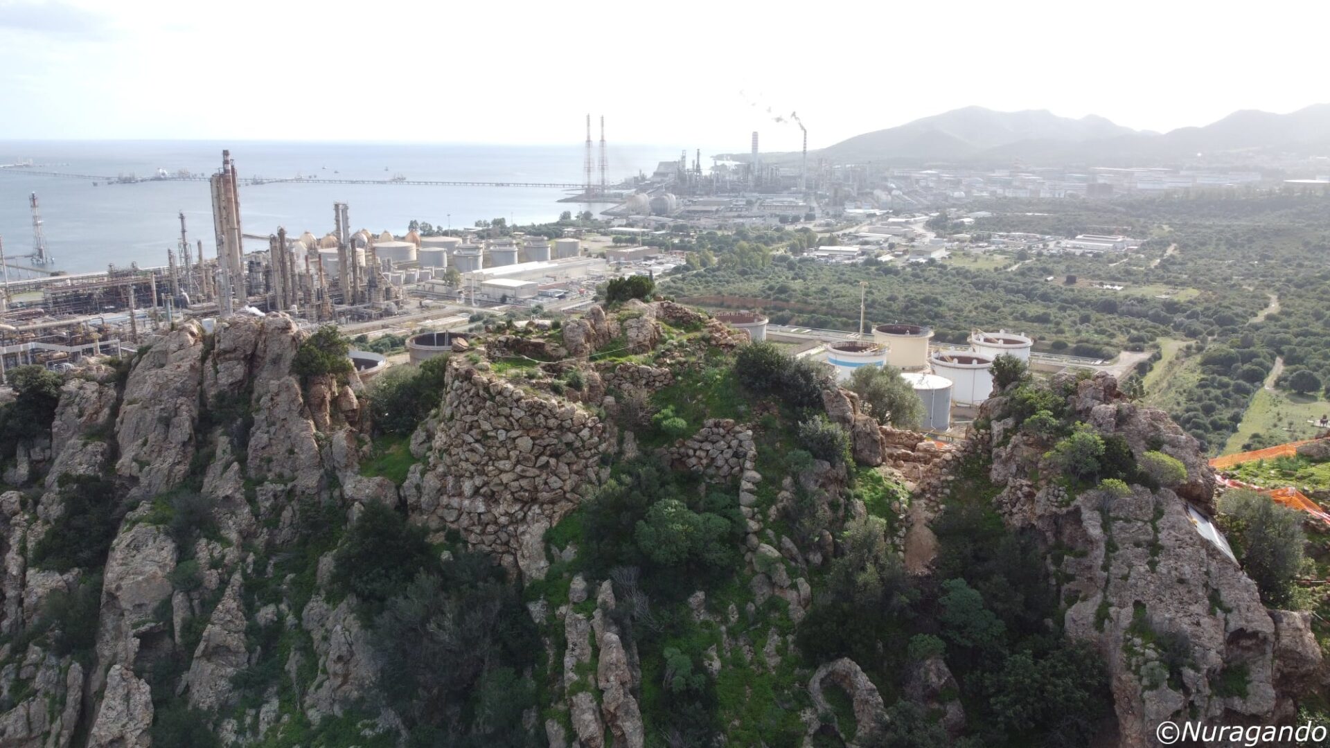
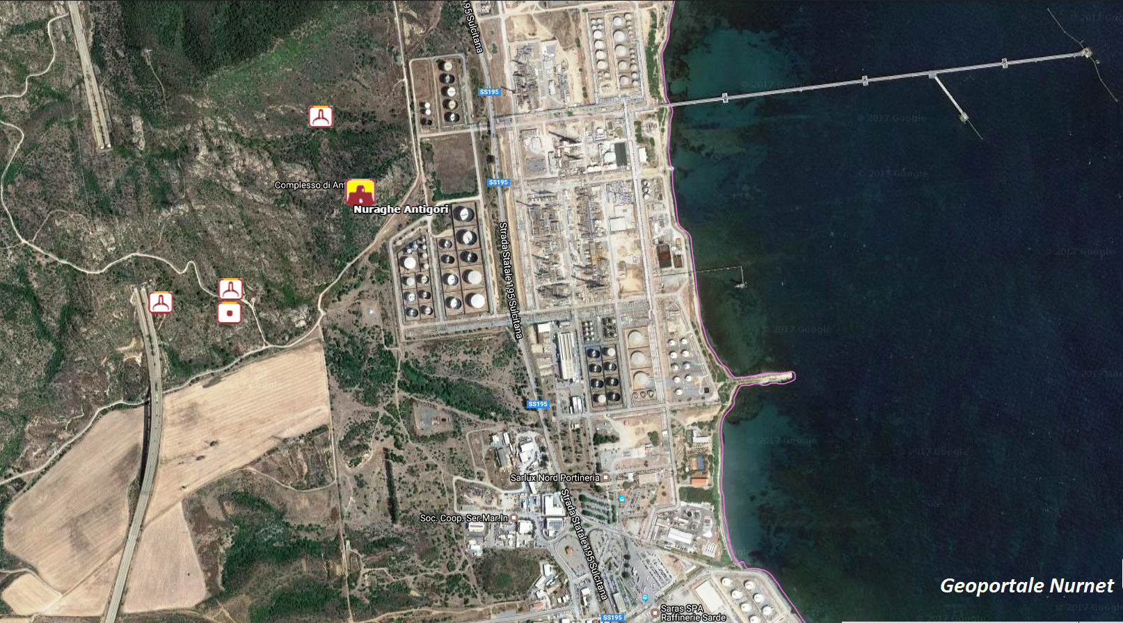
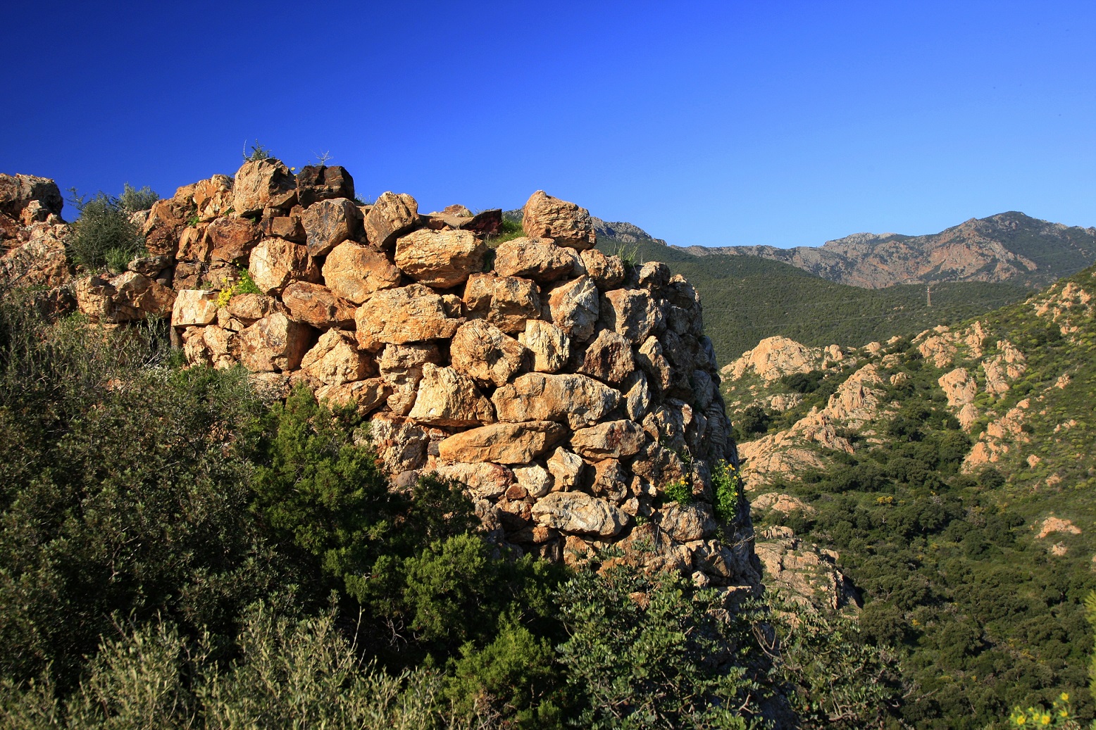
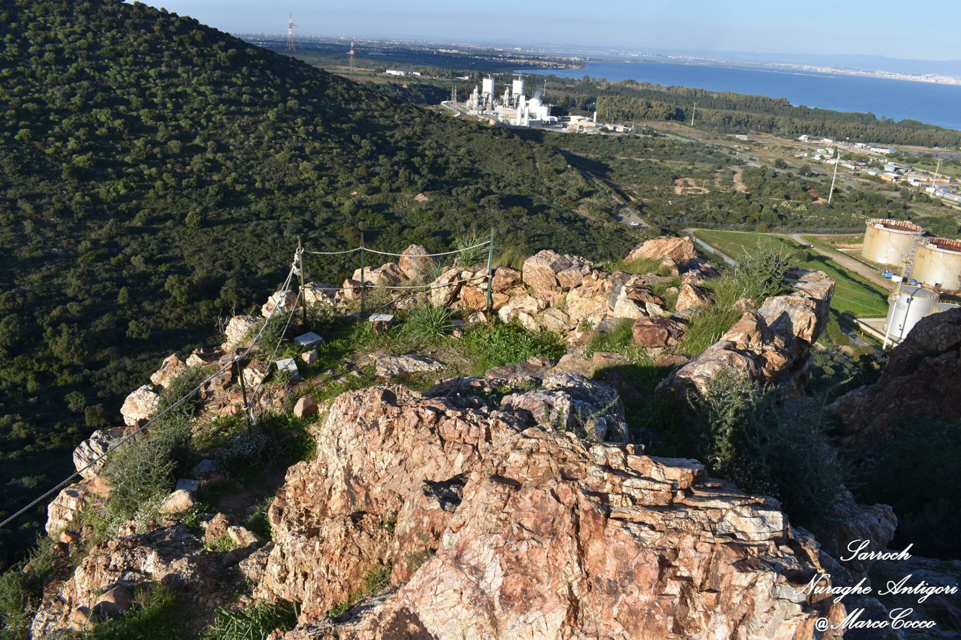
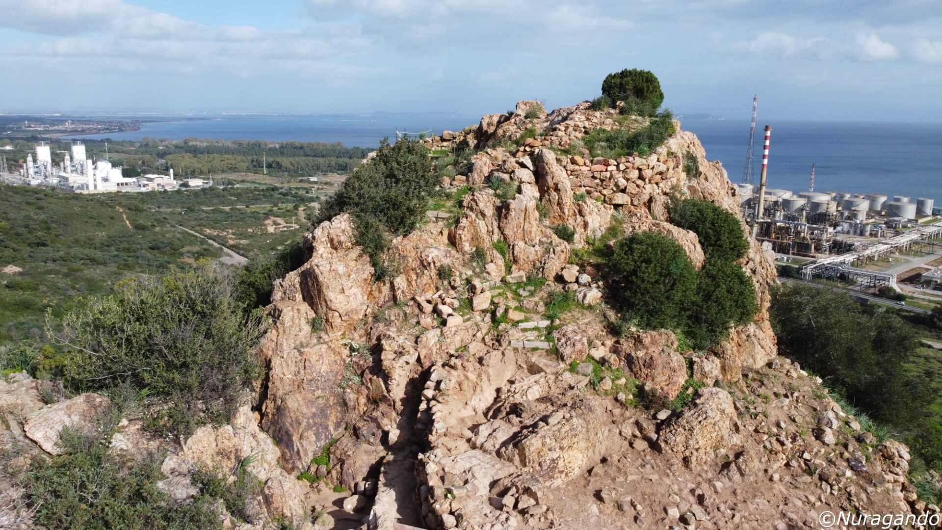
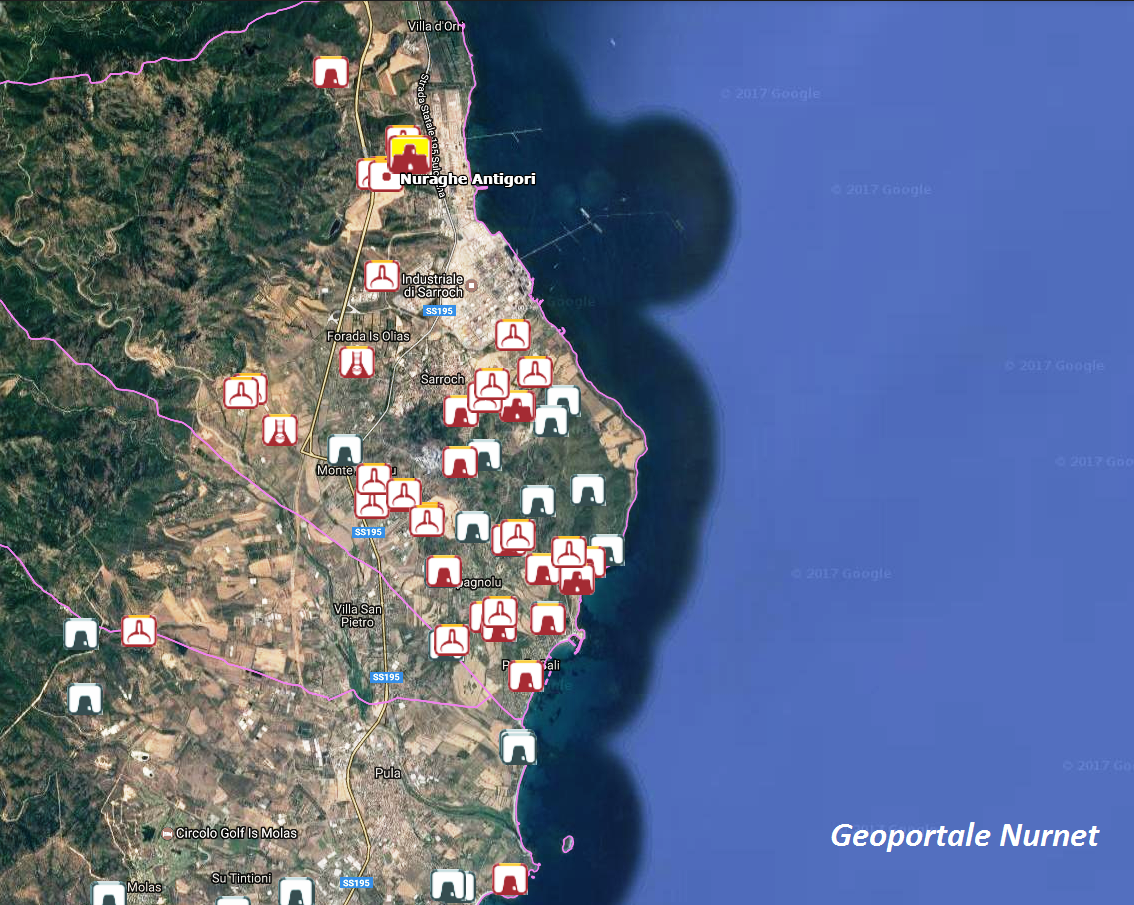
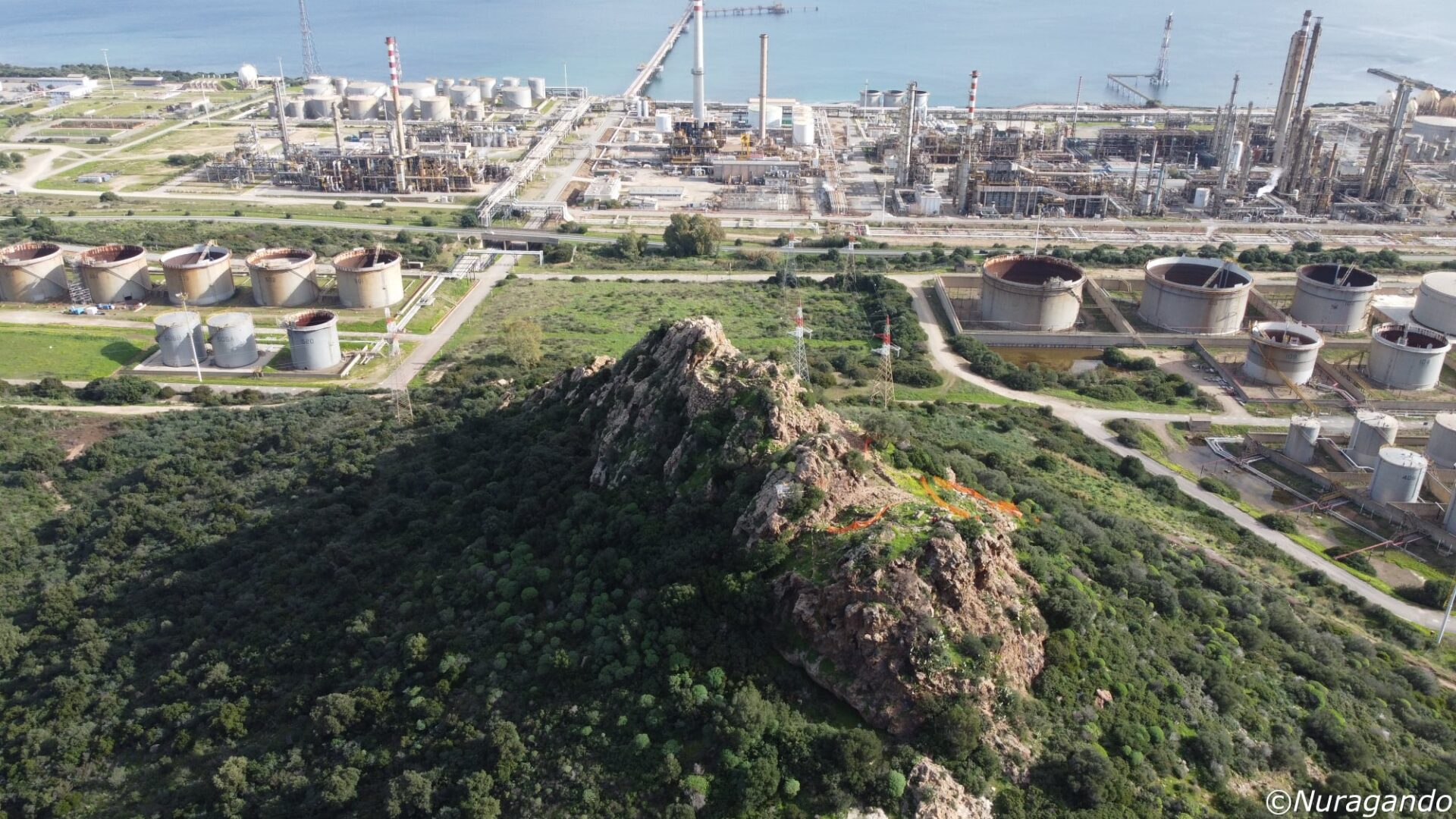
The maps extracted from the Nurnet Geoportal highlight this density, indicating in particular the ‘Antigori’ of Sarroch and the ‘Diana’ (Nuraxianna) of Quartu S.E., as symbols of the various nuragic structures present respectively on the south-western and south-eastern fronts of the Gulf of Cagliari.
In this regard, the considerations of Professor Massimo Pittau, who wrote that:
With regard to Karalis (Cagliari), it must be stated that it is absurd to believe that, long before the Phoenicians, the Nuragics had not taken an eye and an interest in this locality, characterised as it was by easy landings, both to the east and west, and equipped with a precipitous hill, easily transformed into a stronghold, rich in important salt pans and located at the mouth of the Santa Gilla lagoon, which was not only very fishy, but also led as far as Assemini, in the direction of the agricultural resources of the Campidano and the mining resources of the Iglesiente. Moreover, it has been established that human settlement in the Cagliari area dates back to the Eneolithic period and perhaps also to the Neolithic period, as shown by findings at Sant’Elia, San Bartolomeo and Monte Claro.
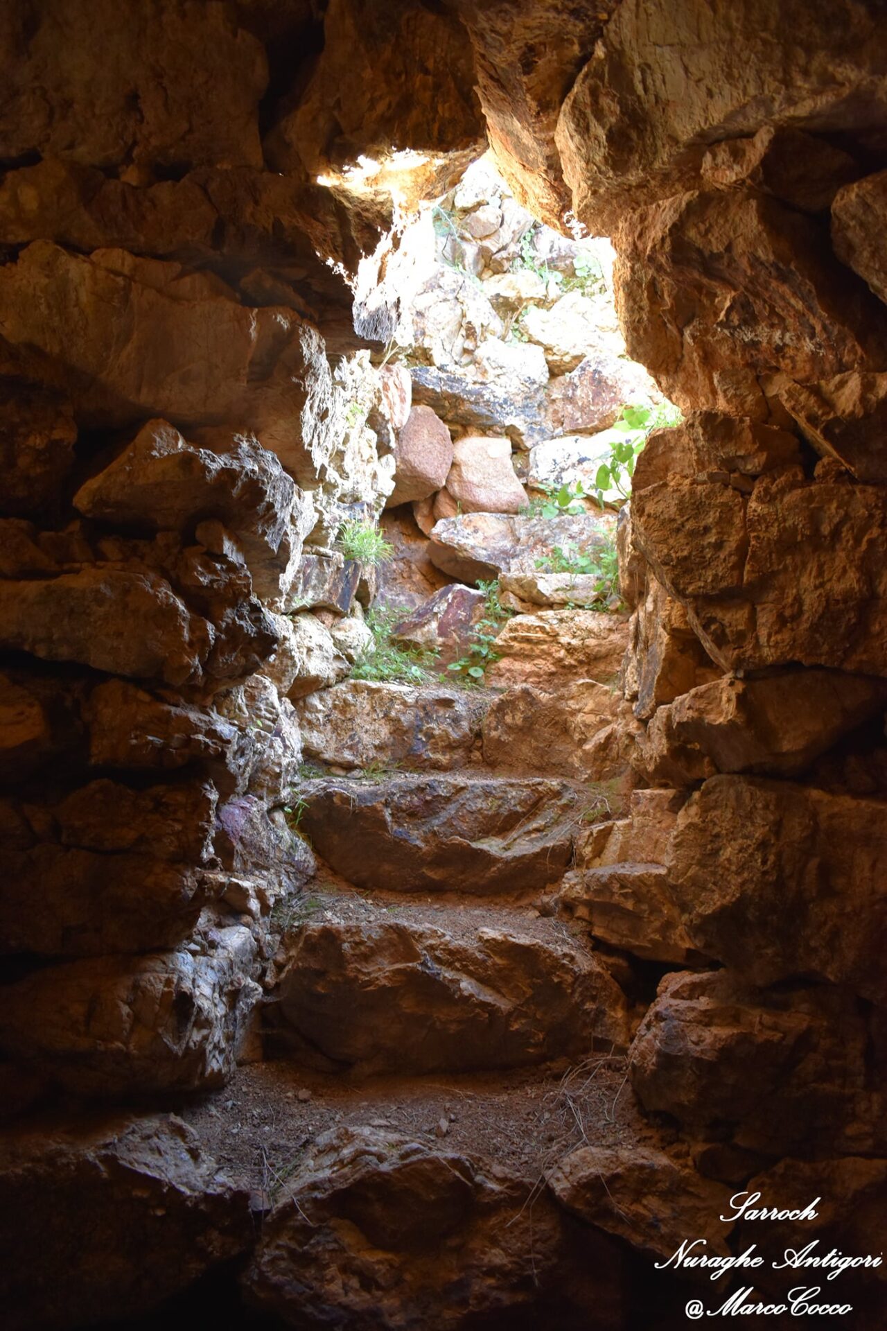
The photos of the nuraghe Diana in Quartu Sant’Elena are by Bibi Pinna, those of the nuraghe Antigori in Sarroch are by Andrea Mura-Nuragando Sardegna, Gianni Sirigu and Marco Cocco.